|
search place name
|
||
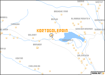
Kortogol-e Pā'īn (Chahār Maḩāll va Bakhtīār, Iran)Kortogol-e Pā'īn is a town in the Chahār Maḩāll va Bakhtīār region of Iran. An overview map of the region around Kortogol-e Pā'īn is displayed below.
regional and 3d topo map of Kortogol-e Pā'īn, Iran ::
Kortogol-e Pā'īn airports ::
The nearest airport is QMJ - Masjed Soleiman Shahid Asyaee, located 176.2 km west of Kortogol-e Pā'īn.
Other airports nearby include MRX - Bandar Mahshahr Mahshahr (211.1 km south west), SYZ - Shiraz Shahid Dastghaib Intl (266.2 km south east), Nearby towns ::
Deh-e Armandchī (0.5km south) //
Sartang-e Dīnār ‘Ālī (0.5km south) //
Ālūnī (2.0km north east) //
Sīnī (2.3km north) //
Deh Now-e Bardbor (4.2km west) //
Berjūʼī (5.4km north) //
Sar Kūrakī (5.2km south east) //
Bard Bor (5.7km south west) //
Bard Bor (5.9km south west) //
Salaḩ Chīn (6.1km south west) //
Şāleḩāt (6.0km west) //
Deh Şaḩrā (6.8km south east) //
Deh-e Torkān (7.5km south east) //
Bāgh-e Ḩeyrān (8.6km north) //
Shāh Qaryeh (8.0km north east) //
Do Makān (8.0km north east) //
Mad Molīl (8.5km south east) //
[all distances 'as the bird flies' and approximate] 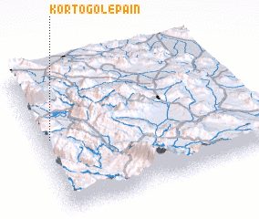 Places with similar names to Kortogol-e Pā'īn, Iran :: Disclaimer :: Information on this page comes without warranty of any kind |
||
|
Where is Kortogol-e Pā'īn? Elevation and coordinates ::
Latitude (lat): 31°32'7"N Longitude (lon): 51°2'53"E
Elevation (approx.): 1832m (map arrows pan, magnifying glasses zoom) |
||
|
Visiting Kortogol-e Pā'īn? Hotel/Accommodation ::
Book a hotel in Kortogol-e Pā'īn Travel Guide ::
Buy a travel guide for Iran rental cars ::
car rental offers GPS waypoint ::
download a GPX waypoint (PoI) of Kortogol-e Pā'īn for your GPS receiver
|
||