|
search place name
|
||
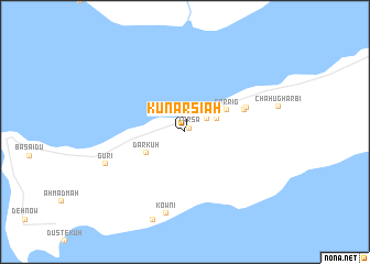
Kunār Sīāh (Hormozgān, Iran)Kunār Sīāh is a town in the Hormozgān region of Iran. An overview map of the region around Kunār Sīāh is displayed below.
regional and 3d topo map of Kunār Sīāh, Iran ::
Kunār Sīāh airports ::
The nearest airport is BDH - Bandar Lengeh, located 61.9 km west of Kunār Sīāh.
Other airports nearby include KHS - Khasab (97.6 km south east), BND - Bandar Abbass Intl (112.5 km north east), RKT - Ras Al Khaimah Intl (127.0 km south east), KIH - Kish Island (145.1 km west), Nearby towns ::
Tarsā (0.6km north east) //
Tonges (2.4km north east) //
Dūlāb (3.2km north east) //
Dar Kūh (4.1km south west) //
Sarrīg (4.4km north east) //
Chāhū Sharqī (5.8km east) //
Chāhū Shomālī (6.1km north east) //
Kownī (8.5km south) //
Gūrī (7.9km south west) //
Kānī (9.3km south) //
[all distances 'as the bird flies' and approximate]  Places with similar names to Kunār Sīāh, Iran ::
// Kāni Rash (IQ)
// Konurchi (UA)
// Conorichi (MX)
// Kānī Rash (IR)
// Kānī Rash (IR)
// Kānī Rash (IR)
// Kānī Rash (IR)
// Kānī Rash (IR)
// Konār-e Sīāh (IR)
// Konār Sīāh (IR)
Disclaimer :: Information on this page comes without warranty of any kind |
||
|
Where is Kunār Sīāh? Elevation and coordinates ::
Latitude (lat): 26°39'48"N Longitude (lon): 55°25'44"E
Elevation (approx.): 6m (map arrows pan, magnifying glasses zoom) |
||
|
Visiting Kunār Sīāh? Hotel/Accommodation ::
Book a hotel in Kunār Sīāh Travel Guide ::
Buy a travel guide for Iran rental cars ::
car rental offers GPS waypoint ::
download a GPX waypoint (PoI) of Kunār Sīāh for your GPS receiver
|
||