|
search place name
|
||
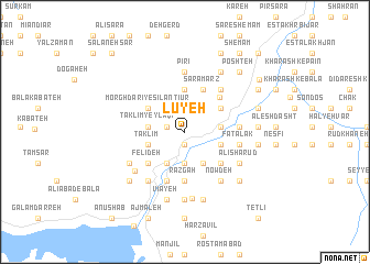
Lūyeh (Gīlān, Iran)Lūyeh is a town in the Gīlān region of Iran. An overview map of the region around Lūyeh is displayed below.
regional and 3d topo map of Lūyeh, Iran ::
Lūyeh airports ::
The nearest airport is RAS - Rasht, located 55.5 km north of Lūyeh.
Other airports nearby include RZR - Ramsar (111.3 km east), THR - Teheran Mehrabad Intl (212.1 km south east), Nearby towns ::
Rūdbār-e Kūhpāyeh-ye Pā'īn (1.3km south) //
Dārestān (1.6km west) //
Emāmzādeh ‘Alī Aşghar (2.8km north east) //
Razkand-e Ţalābar (3.2km south) //
Ţalā Bar (3.5km south east) //
Ţalābar (3.5km south east) //
Qanseh (3.5km south west) //
Ganjeh (3.0km east) //
Taklīm Yeylāqī (3.0km west) //
Qasīm (3.2km south east) //
Taklīm (3.3km south west) //
Lākeh (3.3km south west) //
Nālūs (4.3km north) //
Bābān (3.8km north east) //
Morghdārī-ye Sīlan Ţīūr (3.8km north west) //
Sarāmarz (4.5km north) //
Sīsar (4.3km south east) //
Galevarz (4.3km south east) //
Felīdeh (4.3km south west) //
Doābsar (4.3km south west) //
Jūben (4.5km north east) //
Goldīān (5.0km south) //
Dāk Darreh (5.0km south) //
Galdīān (5.0km south) //
Razgāh (5.0km south) //
Gazan (5.2km south) //
Shūshteh Bar (4.5km east) //
Fīshom (4.5km east) //
Bābā Maḩalleh (5.2km north east) //
[all distances 'as the bird flies' and approximate] 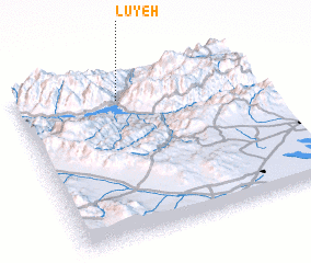 Places with similar names to Lūyeh, Iran ::
Disclaimer :: Information on this page comes without warranty of any kind |
||
|
Where is Lūyeh? Elevation and coordinates ::
Latitude (lat): 36°50'42"N Longitude (lon): 49°26'1"E
Elevation (approx.): 508m (map arrows pan, magnifying glasses zoom) |
||
|
Visiting Lūyeh? Hotel/Accommodation ::
Book a hotel in Lūyeh Travel Guide ::
Buy a travel guide for Iran rental cars ::
car rental offers GPS waypoint ::
download a GPX waypoint (PoI) of Lūyeh for your GPS receiver
|
||