|
search place name
|
||
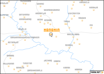
Manāmīn (Iran)Manāmīn is a town in Iran. An overview map of the region around Manāmīn is displayed below.
regional and 3d topo map of Manāmīn, Iran ::
Manāmīn airports ::
The nearest airport is RAS - Rasht, located 111.1 km east of Manāmīn.
Nearby towns ::
Sārbānān (1.2km east) //
Chenārān (2.9km north west) //
Gelgelāb (4.6km north) //
Keshāb (5.3km north) //
Zandaraq (5.4km north west) //
Damdol (6.1km north east) //
Heshī (6.4km north west) //
Chāy Qūshān (6.0km north east) //
Tandu (6.3km north east) //
Nemahīl (6.3km south east) //
Manzelābād (6.1km east) //
Ţūyestān (6.7km east) //
Hashatjīn (8.3km north west) //
Seh Rāh-e Gahrāz (8.9km north) //
Zāvīyeh (8.7km north east) //
Kīvī Zāvīyeh (10.0km north east) //
[all distances 'as the bird flies' and approximate] 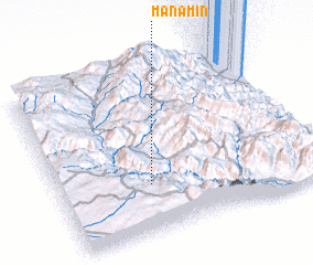 Places with similar names to Manāmīn, Iran ::
Disclaimer :: Information on this page comes without warranty of any kind |
||
|
Where is Manāmīn? Elevation and coordinates ::
Latitude (lat): 37°17'27"N Longitude (lon): 48°21'10"E
Elevation (approx.): 1424m (map arrows pan, magnifying glasses zoom) |
||
|
Visiting Manāmīn? Hotel/Accommodation ::
Book a hotel in Manāmīn Travel Guide ::
Buy a travel guide for Iran rental cars ::
car rental offers GPS waypoint ::
download a GPX waypoint (PoI) of Manāmīn for your GPS receiver
|
||