|
search place name
|
||
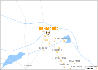
Mehdīābād (Kermān, Iran)Mehdīābād is a town in the Kermān region of Iran. An overview map of the region around Mehdīābād is displayed below.
regional and 3d topo map of Mehdīābād, Iran ::
Mehdīābād airports ::
The nearest airport is KER - Kerman, located 84.9 km west of Mehdīābād.
Nearby towns ::
Valīābād (0.7km south) //
Shafī‘ābād (0.7km north west) //
‘Abbāsābād (0.7km north west) //
Deh-e Zīāratgāh (1.4km west) //
Deh-e Seyf (1.8km north west) //
Malekābād (1.9km south east) //
Qal‘eh-ye Dowlatābād (2.1km south) //
Amīrīyeh (2.3km south west) //
Qal‘eh Kohneh-ye Zīāratgāh (2.4km north west) //
Ebrāhīmābād (2.4km south east) //
Ḩoseynābād (2.9km south) //
Raf‘atīyeh (2.9km south east) //
Hūshangābād (2.9km south east) //
‘Alīābād-e Pā'īn (3.6km south) //
Dowlatābād (4.6km south) //
Ebrahīmābād (4.5km south east) //
Seh Jāābād (5.9km south east) //
Shojā‘ābād-e Moḩammad Qolī (5.9km south east) //
Moḩammadābād (5.5km south east) //
Shīrīnābād (6.0km south east) //
‘Alīābād (6.2km south) //
Deh Sālār (7.1km south) //
Shojā‘ābād (8.9km south) //
Shojā‘ābād (8.9km south east) //
[all distances 'as the bird flies' and approximate] 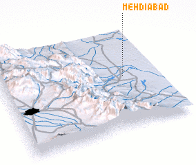 Places with similar names to Mehdīābād, Iran ::
Disclaimer :: Information on this page comes without warranty of any kind |
||
|
Where is Mehdīābād? Elevation and coordinates ::
Latitude (lat): 30°32'15"N Longitude (lon): 57°46'52"E
Elevation (approx.): 322m (map arrows pan, magnifying glasses zoom) |
||
|
Visiting Mehdīābād? Hotel/Accommodation ::
Book a hotel in Mehdīābād Travel Guide ::
Buy a travel guide for Iran rental cars ::
car rental offers GPS waypoint ::
download a GPX waypoint (PoI) of Mehdīābād for your GPS receiver
|
||