|
search place name
|
||
Mehdīābād (Khorāsān, Iran)Mehdīābād is a town in the Khorāsān region of Iran. An overview map of the region around Mehdīābād is displayed below.
regional and 3d topo map of Mehdīābād, Iran ::

Nearby towns ::
Akbarābād (2.0km south west) //
Jow Khvāh (2.3km north east) //
Tashkānān (2.8km east) //
Bahārestān (3.2km south east) //
Soleymānābād (3.5km south) //
Tājābād (3.6km east) //
Deh-e Now (4.4km south) //
Aḩmadīyeh (5.3km east) //
Kerdābād (5.5km south east) //
Torghīnān (5.4km east) //
Deh Shūr (7.1km north west) //
Havas (8.4km south) //
Javādīyeh (8.5km south east) //
[all distances 'as the bird flies' and approximate] 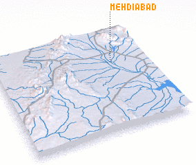 Places with similar names to Mehdīābād, Iran ::
Disclaimer :: Information on this page comes without warranty of any kind |
||
|
Where is Mehdīābād? Elevation and coordinates ::
Latitude (lat): 33°42'47"N Longitude (lon): 56°46'54"E
Elevation (approx.): 654m (map arrows pan, magnifying glasses zoom) |
||
|
Visiting Mehdīābād? Hotel/Accommodation ::
Book a hotel in Mehdīābād Travel Guide ::
Buy a travel guide for Iran rental cars ::
car rental offers GPS waypoint ::
download a GPX waypoint (PoI) of Mehdīābād for your GPS receiver
|
||