|
search place name
|
||
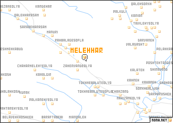
Meleh Hār (Ostān-e Kermānshāh, Iran)Meleh Hār is a town in the Ostān-e Kermānshāh region of Iran. An overview map of the region around Meleh Hār is displayed below.
regional and 3d topo map of Meleh Hār, Iran ::
Meleh Hār airports ::
The nearest airport is KSH - Bakhtaran Shahid Ashrafi Esfahani, located 65.3 km north of Meleh Hār.
Other airports nearby include SDG - Sanandaj (162.3 km north), Nearby towns ::
Qal‘eh Tork-e Soflá (1.5km west) //
Qal‘eh-ye Tork (1.5km west) //
Z̧āhervand-e ‘Olyā (2.4km south west) //
Reẕāābād (2.4km north west) //
Hasht Jofteh (2.4km north west) //
Rāh Balag-e‘Olyā (3.6km north west) //
Rāh Balag-e Soflá (4.8km north west) //
Vīsgeh (4.7km north west) //
‘Alīābād (5.0km west) //
Tokhm-e Balūţ-e ‘Olyā (5.8km south) //
Z̧āhervand-e Soflá (5.8km south) //
Shāh Bodāgh (5.9km south) //
Bāqerābād (5.9km north west) //
Tokhm-e Balūţ-e Soflá (7.6km south) //
Dam Kabūd (7.6km south) //
Mahdīyeh (8.0km south east) //
Shahbāzvand (8.0km south east) //
Chahār Meleh-ye Soflá (7.2km south west) //
Manūrī (8.3km north west) //
Bāzegeh (8.3km north west) //
Cham Zard (9.6km south east) //
[all distances 'as the bird flies' and approximate] 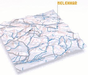 Places with similar names to Meleh Hār, Iran ::
Disclaimer :: Information on this page comes without warranty of any kind |
||
|
Where is Meleh Hār? Elevation and coordinates ::
Latitude (lat): 33°47'0"N Longitude (lon): 46°57'0"E
Elevation (approx.): 1366m (map arrows pan, magnifying glasses zoom) |
||
|
Visiting Meleh Hār? Hotel/Accommodation ::
Book a hotel in Meleh Hār Travel Guide ::
Buy a travel guide for Iran rental cars ::
car rental offers GPS waypoint ::
download a GPX waypoint (PoI) of Meleh Hār for your GPS receiver
|
||