|
search place name
|
||
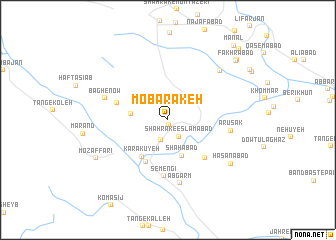
Mobārakeh (Fārs, Iran)Mobārakeh is a town in the Fārs region of Iran. An overview map of the region around Mobārakeh is displayed below.
regional and 3d topo map of Mobārakeh, Iran ::
Mobārakeh airports ::
The nearest airport is SYZ - Shiraz Shahid Dastghaib Intl, located 138.2 km north of Mobārakeh.
Other airports nearby include KIH - Kish Island (223.0 km south east), BDH - Bandar Lengeh (267.8 km south east), Nearby towns ::
Oţrūyeh (0.6km south) //
Shahrak-e Eslāmābād (2.2km south east) //
Dasht-e Shūr (2.4km south) //
Shūr Kūyeh (3.7km west) //
Shāhābād (4.2km south) //
Karakūyeh (4.8km south west) //
Tol-e Qūchī (5.2km south west) //
Nīm Deh (5.6km south east) //
Mengenūyeh (5.3km west) //
Semengī (6.3km south) //
‘Arūsak (6.3km east) //
Āb Garm (7.2km south) //
Bāgh-e Now (6.6km west) //
Fatḩābād (7.5km north east) //
Ḩasanābād (7.9km south east) //
Moz̧affarī (8.2km south west) //
Fakhrābād (9.4km north east) //
Kāvakī (9.5km north east) //
Manāl (10.5km north east) //
Kārzīn (10.6km north east) //
[all distances 'as the bird flies' and approximate] 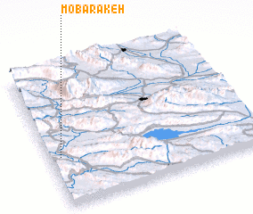 Places with similar names to Mobārakeh, Iran ::
Disclaimer :: Information on this page comes without warranty of any kind |
||
|
Where is Mobārakeh? Elevation and coordinates ::
Latitude (lat): 28°21'39"N Longitude (lon): 53°3'13"E
Elevation (approx.): 668m (map arrows pan, magnifying glasses zoom) |
||
|
Visiting Mobārakeh? Hotel/Accommodation ::
Book a hotel in Mobārakeh Travel Guide ::
Buy a travel guide for Iran rental cars ::
car rental offers GPS waypoint ::
download a GPX waypoint (PoI) of Mobārakeh for your GPS receiver
|
||