|
search place name
|
||
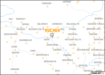
Mūcheh (Kordestān, Iran)Mūcheh is a town in the Kordestān region of Iran. An overview map of the region around Mūcheh is displayed below.
regional and 3d topo map of Mūcheh, Iran ::
Mūcheh airports ::
The nearest airport is SDG - Sanandaj, located 142.1 km south east of Mūcheh.
Other airports nearby include KSH - Bakhtaran Shahid Ashrafi Esfahani (222.1 km south east), Nearby towns ::
Cherūsh (0.0km north) //
Kānī Ebrāhīm (0.0km north) //
Tāzhbān (1.5km east) //
Zarrīneh (1.9km north) //
Kūh-e Obal (1.5km west) //
Khajak (2.4km north west) //
Kūh-e Bū ol Ḩasan (2.4km north west) //
Donīs (2.4km south west) //
Sūrrehbān (3.7km south) //
Nīrvān (3.7km south) //
Sālūk-e Soflá (3.5km north east) //
Vāzheh (4.0km north) //
Zarboneh (4.0km north) //
Gū'īl (3.5km north east) //
Gūrehdār (4.0km north) //
Sarbard (4.0km south) //
Bolḩasan (4.6km north west) //
Bolḩasan (4.6km north west) //
Kūkh-e Rostam (4.8km south east) //
Kūh-e Rostam (4.8km south east) //
Deymeh (4.5km east) //
Anjīneh-ye Bālā (4.9km west) //
Garmāb (5.8km south) //
Anjīneh-ye ‘Olyā (4.9km west) //
Tavakkol (6.0km east) //
Atābak (6.3km east) //
Mīr Yūsof-e Soflá (6.3km east) //
Mīr Yūsof-e ‘Olyā (6.3km east) //
Semāqān (7.2km south east) //
[all distances 'as the bird flies' and approximate] 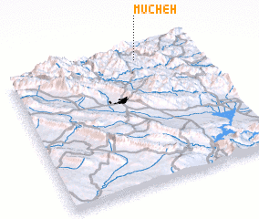 Places with similar names to Mūcheh, Iran ::
Disclaimer :: Information on this page comes without warranty of any kind |
||
|
Where is Mūcheh? Elevation and coordinates ::
Latitude (lat): 35°57'0"N Longitude (lon): 45°42'0"E
Elevation (approx.): 1144m (map arrows pan, magnifying glasses zoom) |
||
|
Visiting Mūcheh? Hotel/Accommodation ::
Book a hotel in Mūcheh Travel Guide ::
Buy a travel guide for Iran rental cars ::
car rental offers GPS waypoint ::
download a GPX waypoint (PoI) of Mūcheh for your GPS receiver
|
||