|
search place name
|
||
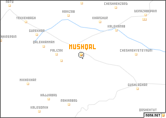
Mūshqāl (Khorāsān, Iran)Mūshqāl is a town in the Khorāsān region of Iran. An overview map of the region around Mūshqāl is displayed below.
regional and 3d topo map of Mūshqāl, Iran ::
Mūshqāl airports ::
The nearest airport is HEA - Herat, located 215.3 km south east of Mūshqāl.
Nearby towns ::
Ya‘qūbī (4.0km west) //
Fālīzak (4.9km west) //
Khār Ghūr (9.0km north) //
Qal‘eh Ḩammām (7.7km west) //
Kāl-e Karāb (9.0km north east) //
[all distances 'as the bird flies' and approximate] 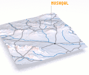 Places with similar names to Mūshqāl, Iran ::
// Maišiagala (LT)
// Mechkul (BG)
// Mushkil (IQ)
// Meshokol' (RU)
// Maishākola (BD)
// Mushikila (CD)
// Mutiakula (CD)
// Mishquillí (EC)
// Machaquilá (GT)
// Machaquilá (GT)
Disclaimer :: Information on this page comes without warranty of any kind |
||
|
Where is Mūshqāl? Elevation and coordinates ::
Latitude (lat): 35°46'27"N Longitude (lon): 60°49'56"E
Elevation (approx.): 912m (map arrows pan, magnifying glasses zoom) |
||
|
Visiting Mūshqāl? Hotel/Accommodation ::
Book a hotel in Mūshqāl Travel Guide ::
Buy a travel guide for Iran rental cars ::
car rental offers GPS waypoint ::
download a GPX waypoint (PoI) of Mūshqāl for your GPS receiver
|
||