|
search place name
|
||
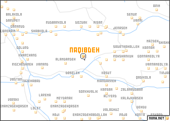
Naqīb Deh (Iran)Naqīb Deh is a town in Iran. An overview map of the region around Naqīb Deh is displayed below.
regional and 3d topo map of Naqīb Deh, Iran ::
Naqīb Deh airports ::
The nearest airport is THR - Teheran Mehrabad Intl, located 194.1 km south west of Naqīb Deh.
Nearby towns ::
Ḩājjī Kolā (2.9km east) //
Chāchkām (3.7km south) //
‘Alamdār Deh (3.5km west) //
Doseleh (4.2km south west) //
Kojā Rūstā (3.9km east) //
Kajarestāq (3.9km east) //
Kesvat (5.3km south east) //
Kosūt (5.3km south east) //
Şaltā (6.1km north east) //
Kand Saban (5.3km east) //
Kondes Bon (5.7km east) //
Şalāt (6.7km north east) //
Mīān Darreh (6.7km south east) //
Dozdak (7.5km north) //
Aḩmadābād (7.6km north) //
Sorkh Valīk (7.8km south) //
Mūsá Kolā (7.9km north) //
Pīsar (7.9km north) //
Zāram Rūd (7.6km north west) //
Rowshan Kūh (6.8km east) //
Sartā (8.2km north east) //
Ākhvord (7.1km east) //
Kal Qūchāl (8.3km north west) //
Kamar Sar (8.3km south east) //
Kar Sām (8.3km south east) //
Bāzār Kheyl (8.4km north east) //
Khāl-e Kheyl (8.4km south east) //
Rūd Bār Kolā (9.1km north west) //
Saqandī Kolā (8.8km north west) //
[all distances 'as the bird flies' and approximate] 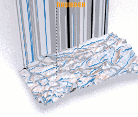 Places with similar names to Naqīb Deh, Iran ::
Disclaimer :: Information on this page comes without warranty of any kind |
||
|
Where is Naqīb Deh? Elevation and coordinates ::
Latitude (lat): 36°22'57"N Longitude (lon): 53°17'25"E
Elevation (approx.): 730m (map arrows pan, magnifying glasses zoom) |
||
|
Visiting Naqīb Deh? Hotel/Accommodation ::
Book a hotel in Naqīb Deh Travel Guide ::
Buy a travel guide for Iran rental cars ::
car rental offers GPS waypoint ::
download a GPX waypoint (PoI) of Naqīb Deh for your GPS receiver
|
||