|
search place name
|
||
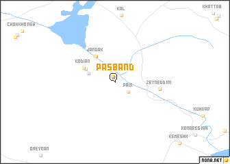
Pasband (Fārs, Iran)Pasband is a town in the Fārs region of Iran. An overview map of the region around Pasband is displayed below.
regional and 3d topo map of Pasband, Iran ::
Pasband airports ::
The nearest airport is KIH - Kish Island, located 71.2 km south of Pasband.
Other airports nearby include BDH - Bandar Lengeh (122.1 km south east), DXB - Dubai Intl (261.5 km south east), SHJ - Sharjah Intl (264.4 km south east), Nearby towns ::
 Places with similar names to Pasband, Iran ::
// Pisa Bonito (CU)
// Pisa Bonita (CO)
// Pisabonito (CO)
// Pozo Bonito (MX)
// Piāz Bānda (PK)
// Paso Bonito (VE)
// Paso Bonito (VE)
// Piāzo Bānda (PK)
// Pasāband (AF)
// Pozo Bonito (DO)
Disclaimer :: Information on this page comes without warranty of any kind |
||
|
Where is Pasband? Elevation and coordinates ::
Latitude (lat): 27°8'57"N Longitude (lon): 53°48'24"E
Elevation (approx.): 380m (map arrows pan, magnifying glasses zoom) |
||
|
Visiting Pasband? Hotel/Accommodation ::
Book a hotel in Pasband Travel Guide ::
Buy a travel guide for Iran rental cars ::
car rental offers GPS waypoint ::
download a GPX waypoint (PoI) of Pasband for your GPS receiver
|
||