|
search place name
|
||
Pespatang-e Bālā (Khorāsān, Iran)Pespatang-e Bālā is a town in the Khorāsān region of Iran. An overview map of the region around Pespatang-e Bālā is displayed below.
regional and 3d topo map of Pespatang-e Bālā, Iran ::

Pespatang-e Bālā airports ::
The nearest airport is XBJ - Birjand, located 25.6 km north west of Pespatang-e Bālā.
Nearby towns ::
Kalāteh-ye Moḩammad Sharīf (0.9km west) //
Barzech (2.7km north east) //
Sang-e Sefīd (3.0km south west) //
Āhangarī (3.4km north west) //
Ābshar (3.6km north west) //
Kafkī (4.1km north) //
Maḩmūdābād (4.4km north) //
Kalāteh Saida (4.3km north west) //
Kalāteh-ye Karbalā'ī Ḩājjī (4.7km north west) //
Akbarābād (4.7km north west) //
‘Abbāsābād (5.1km north) //
Marūchk (4.5km west) //
Malekābād (5.4km north) //
Ḩasanābād-e Mīān (4.7km west) //
Sar Tangal (5.5km north) //
Kalāteh-ye ‘Alī Moḩammad (5.4km south west) //
Mīān Kūh (5.4km south west) //
Tak Omak (6.1km north) //
Tangal-e Bālā (6.1km north) //
Ḩasanābād-e Bālā (5.4km west) //
Kūch (5.6km north east) //
Sar Posht-e Behdān (6.5km north) //
Kalāteh-ye Moḩammad Zamān (6.7km north) //
Chenesht (6.7km south) //
Kalāteh-ye Khodā Bakhsh (6.1km south west) //
Gūjalgū (6.3km north west) //
Behdān (6.8km north) //
Khorāshād (6.9km north) //
Eskūk (7.0km south) //
[all distances 'as the bird flies' and approximate] 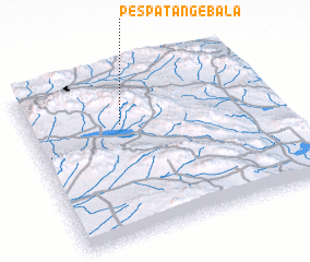 Places with similar names to Pespatang-e Bālā, Iran :: Disclaimer :: Information on this page comes without warranty of any kind |
||
|
Where is Pespatang-e Bālā? Elevation and coordinates ::
Latitude (lat): 32°41'24"N Longitude (lon): 59°23'1"E
Elevation (approx.): 2312m (map arrows pan, magnifying glasses zoom) |
||
|
Visiting Pespatang-e Bālā? Hotel/Accommodation ::
Book a hotel in Pespatang-e Bālā Travel Guide ::
Buy a travel guide for Iran rental cars ::
car rental offers GPS waypoint ::
download a GPX waypoint (PoI) of Pespatang-e Bālā for your GPS receiver
|
||