|
search place name
|
||
Pīshostā (Kermān, Iran)Pīshostā is a town in the Kermān region of Iran. An overview map of the region around Pīshostā is displayed below.
regional and 3d topo map of Pīshostā, Iran ::

Pīshostā airports ::
The nearest airport is KER - Kerman, located 151.0 km east of Pīshostā.
Other airports nearby include AZD - Yazd Shahid Sadooghi (208.9 km north west), Nearby towns ::
Dargāzrow (0.8km north west) //
Derang (0.9km north) //
Darband (1.9km north west) //
Kadgū (2.1km east) //
Nūkand (2.4km north east) //
Yūrās (2.7km south east) //
Kūlīkūn (2.6km north west) //
Lāy Khīz (3.0km south) //
Tīlā (3.2km south) //
Kūh-e Qalāt Kūchek (4.0km east) //
Moshgān (4.3km north west) //
Zarzard (5.0km south) //
Meymand (5.3km south) //
Rīseh (5.1km north east) //
Kamar Sorkhān (4.9km east) //
Posht Korom (5.5km south) //
Lāy Zhāghī (5.0km west) //
Sorkhān (5.5km north east) //
Bīdū'īyeh (5.8km north west) //
Dūzakhdar (5.4km west) //
Kamar Khīvīyeh (6.4km south west) //
Zarmalek (7.1km south) //
Samrāyeh (6.8km north east) //
Godār-e ‘Eyn od Dīn (7.0km north west) //
Hodkūnū (7.5km south) //
Godār-e Ābdār (7.0km north west) //
Marj (6.5km east) //
Moreng (7.7km south) //
Korom (7.1km south west) //
[all distances 'as the bird flies' and approximate] 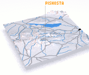 Places with similar names to Pīshostā, Iran :: Disclaimer :: Information on this page comes without warranty of any kind |
||
|
Where is Pīshostā? Elevation and coordinates ::
Latitude (lat): 30°16'42"N Longitude (lon): 55°22'53"E
Elevation (approx.): 2495m (map arrows pan, magnifying glasses zoom) |
||
|
Visiting Pīshostā? Hotel/Accommodation ::
Book a hotel in Pīshostā Travel Guide ::
Buy a travel guide for Iran rental cars ::
car rental offers GPS waypoint ::
download a GPX waypoint (PoI) of Pīshostā for your GPS receiver
|
||