|
search place name
|
||
Qā'īdān (Chahār Maḩāll va Bakhtīār, Iran)Qā'īdān is a town in the Chahār Maḩāll va Bakhtīār region of Iran. An overview map of the region around Qā'īdān is displayed below.
regional and 3d topo map of Qā'īdān, Iran ::

Qā'īdān airports ::
The nearest airport is QMJ - Masjed Soleiman Shahid Asyaee, located 132.5 km west of Qā'īdān.
Other airports nearby include AWZ - Ahwaz (180.2 km west), MRX - Bandar Mahshahr Mahshahr (187.0 km south west), Nearby towns ::
Refen (0.5km south) //
Shīāsī (1.3km east) //
Kāhīdān (2.1km north west) //
Zūn (2.8km south) //
Helesāt (3.1km north west) //
Deh Now (4.0km north) //
Sar Qal‘eh (3.9km north west) //
Kanehmī (5.5km north west) //
Sarmāzeh (5.7km north west) //
Vaqfī (6.5km north west) //
Choldān (6.5km north west) //
Deh Now (7.1km north west) //
Seyyed Moḩammad (7.0km south east) //
Tūleh Dān (7.8km north west) //
Var-e Zard (9.4km north west) //
Sar Zard (9.1km north west) //
Malek Shīr (9.2km north west) //
Deh Kohneh (9.5km north west) //
Goleh Shūr (9.5km north west) //
Sar Khūn (10.6km north west) //
[all distances 'as the bird flies' and approximate] 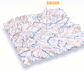 Places with similar names to Qā'īdān, Iran ::
Disclaimer :: Information on this page comes without warranty of any kind |
||
|
Where is Qā'īdān? Elevation and coordinates ::
Latitude (lat): 31°40'34"N Longitude (lon): 50°37'3"E
Elevation (approx.): 1276m (map arrows pan, magnifying glasses zoom) |
||
|
Visiting Qā'īdān? Hotel/Accommodation ::
Book a hotel in Qā'īdān Travel Guide ::
Buy a travel guide for Iran rental cars ::
car rental offers GPS waypoint ::
download a GPX waypoint (PoI) of Qā'īdān for your GPS receiver
|
||