|
search place name
|
||
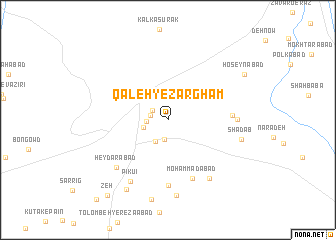
Qal‘eh-ye Ẕarghām (Kermān, Iran)Qal‘eh-ye Ẕarghām is a town in the Kermān region of Iran. An overview map of the region around Qal‘eh-ye Ẕarghām is displayed below.
regional and 3d topo map of Qal‘eh-ye Ẕarghām, Iran ::
Qal‘eh-ye Ẕarghām airports ::
The nearest airport is BND - Bandar Abbass Intl, located 157.3 km south west of Qal‘eh-ye Ẕarghām.
Other airports nearby include KHS - Khasab (248.4 km south west), Nearby towns ::
‘Abdolābād (0.8km north) //
Nāşerābād (1.8km north west) //
Qal‘eh Kohneh (1.8km west) //
Sheykhābād (2.2km south) //
Khātūnābād (2.1km west) //
Qal‘eh-ye S‘īd Khān (2.7km south west) //
Langābād (2.8km north) //
Naz̧mīyeh (2.6km west) //
Noşratābād (3.8km north east) //
Moḩammadābād (7.0km south) //
Gowharak (6.4km east) //
Azalī (7.3km south) //
Sorkh Qal‘eh (6.8km east) //
Ḩeydarābād (7.3km south west) //
Gurdiānu (7.7km south east) //
Pīkū'ī (7.9km south west) //
Qism Mandar (8.5km south) //
Shādāb (7.6km east) //
Nakhlestān (8.8km south west) //
Ḩoseynābād (9.1km north east) //
Zeh (10.3km south west) //
[all distances 'as the bird flies' and approximate] 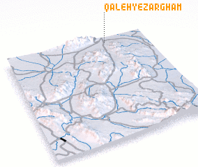 Places with similar names to Qal‘eh-ye Ẕarghām, Iran :: Disclaimer :: Information on this page comes without warranty of any kind |
||
|
Where is Qal‘eh-ye Ẕarghām? Elevation and coordinates ::
Latitude (lat): 27°58'33"N Longitude (lon): 57°43'31"E
Elevation (approx.): 491m (map arrows pan, magnifying glasses zoom) |
||
|
Visiting Qal‘eh-ye Ẕarghām? Hotel/Accommodation ::
Book a hotel in Qal‘eh-ye Ẕarghām Travel Guide ::
Buy a travel guide for Iran rental cars ::
car rental offers GPS waypoint ::
download a GPX waypoint (PoI) of Qal‘eh-ye Ẕarghām for your GPS receiver
|
||