|
search place name
|
||
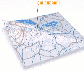
Qal‘eh Zangī (Kermān, Iran)Qal‘eh Zangī is a town in the Kermān region of Iran. An overview map of the region around Qal‘eh Zangī is displayed below.
regional and 3d topo map of Qal‘eh Zangī, Iran ::

Qal‘eh Zangī airports ::
The nearest airport is KER - Kerman, located 227.8 km north west of Qal‘eh Zangī.
Nearby towns ::
 Places with similar names to Qal‘eh Zangī, Iran ::
// Kalusinge (CD)
// Glažnja (MK)
// Gul Sāngi (PK)
// Kalasunju (NG)
// Qowl-e Zangī (AF)
// Qal‘eh Sangī (IR)
// Qal‘eh Sangī (IR)
// Qal‘eh Sangī (IR)
// Qal‘eh Sangī (IR)
// Koala Sungēi (MM)
Disclaimer :: Information on this page comes without warranty of any kind |
||
|
Where is Qal‘eh Zangī? Elevation and coordinates ::
Latitude (lat): 28°43'0"N Longitude (lon): 58°29'0"E
Elevation (approx.): 1234m (map arrows pan, magnifying glasses zoom) |
||
|
Visiting Qal‘eh Zangī? Hotel/Accommodation ::
Book a hotel in Qal‘eh Zangī Travel Guide ::
Buy a travel guide for Iran rental cars ::
car rental offers GPS waypoint ::
download a GPX waypoint (PoI) of Qal‘eh Zangī for your GPS receiver
|
||