|
search place name
|
||
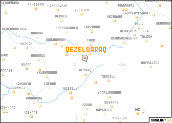
Qezel Daraq (Ardabīl, Iran)Qezel Daraq is a town in the Ardabīl region of Iran. An overview map of the region around Qezel Daraq is displayed below.
regional and 3d topo map of Qezel Daraq, Iran ::
Qezel Daraq airports ::
The nearest airport is RAS - Rasht, located 106.6 km east of Qezel Daraq.
Nearby towns ::
Zāvīyeh-ye Kīvī (1.8km north) //
Vāres̄ābād (2.0km west) //
Beyraq (2.8km south) //
Golūjeh (2.8km north east) //
Tark (3.8km north) //
Garmkhāneh (4.1km north) //
Arsūn (3.8km north west) //
Būrgahīm (4.8km south) //
Gezāz (5.5km north west) //
Tarāzūj (5.7km south east) //
Tarzanaq (6.6km north) //
Dūstelū (7.3km south) //
Sheykh Jānlū (7.2km north west) //
Nīā Khorram (6.5km north west) //
Kolī (6.5km east) //
Bīleh Deh (8.2km south) //
Khūsh Nāmeh (7.5km south west) //
Ālhāshem-e ‘Olyā (7.8km north east) //
Yār ‘Alī Qanbar (8.8km south east) //
Chenār (8.5km south west) //
Mezahjīn (10.2km north east) //
[all distances 'as the bird flies' and approximate] 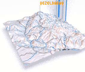 Places with similar names to Qezel Daraq, Iran ::
// Casal do Rico (PT)
// Kyzylturuk (UZ)
Disclaimer :: Information on this page comes without warranty of any kind |
||
|
Where is Qezel Daraq? Elevation and coordinates ::
Latitude (lat): 37°29'54"N Longitude (lon): 48°25'18"E
Elevation (approx.): 1999m (map arrows pan, magnifying glasses zoom) |
||
|
Visiting Qezel Daraq? Hotel/Accommodation ::
Book a hotel in Qezel Daraq Travel Guide ::
Buy a travel guide for Iran rental cars ::
car rental offers GPS waypoint ::
download a GPX waypoint (PoI) of Qezel Daraq for your GPS receiver
|
||