|
search place name
|
||
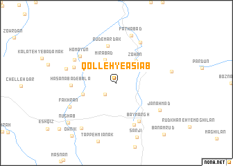
Qolleh-ye Āsīāb (Khorāsān, Iran)Qolleh-ye Āsīāb is a town in the Khorāsān region of Iran. An overview map of the region around Qolleh-ye Āsīāb is displayed below.
regional and 3d topo map of Qolleh-ye Āsīāb, Iran ::
Qolleh-ye Āsīāb airports ::
The nearest airport is XBJ - Birjand, located 71.3 km south west of Qolleh-ye Āsīāb.
Nearby towns ::
Sar Davān (2.4km south west) //
Mīrābād (4.0km north west) //
Mehrak (4.0km north west) //
Zohān (4.4km north east) //
Kāl-e Sardūvān (4.9km south west) //
Rūd-e Mardak (6.1km north) //
Bāymargh (6.9km south east) //
Homāyūn (6.5km north west) //
Kalāteh-ye Mazār (7.1km south) //
Kabūdān (6.3km north west) //
Ḩasanābād-e Bālā (6.1km west) //
Pāyehān (7.3km north east) //
Dasht-e Kabūdān (6.8km north west) //
Fatḩābād (7.9km north) //
Jān Aḩmad (7.3km south east) //
Shīr Khond (7.1km west) //
Fakhrān (7.3km south west) //
Bāghestān-e Zohān (7.6km east) //
Kūh-e Taq-e Mangī (8.7km south west) //
Sārjī (9.1km south) //
Nūghāb (9.1km south west) //
Ownīk (10.5km south west) //
Banam Rūd (10.4km south east) //
[all distances 'as the bird flies' and approximate] 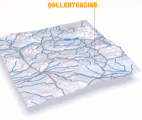 Places with similar names to Qolleh-ye Āsīāb, Iran :: Disclaimer :: Information on this page comes without warranty of any kind |
||
|
Where is Qolleh-ye Āsīāb? Elevation and coordinates ::
Latitude (lat): 33°23'0"N Longitude (lon): 59°46'0"E
Elevation (approx.): 1838m (map arrows pan, magnifying glasses zoom) |
||
|
Visiting Qolleh-ye Āsīāb? Hotel/Accommodation ::
Book a hotel in Qolleh-ye Āsīāb Travel Guide ::
Buy a travel guide for Iran rental cars ::
car rental offers GPS waypoint ::
download a GPX waypoint (PoI) of Qolleh-ye Āsīāb for your GPS receiver
|
||