|
search place name
|
||
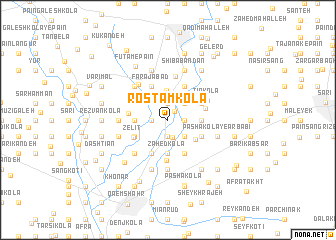
Rostam Kolā (Iran)Rostam Kolā is a town in Iran. An overview map of the region around Rostam Kolā is displayed below.
regional and 3d topo map of Rostam Kolā, Iran ::
Rostam Kolā airports ::
The nearest airport is THR - Teheran Mehrabad Intl, located 171.8 km south west of Rostam Kolā.
Nearby towns ::
Abjar (1.2km north east) //
Āhangar Kolā (1.9km south) //
Qādī Kolā (1.9km south) //
‘Alī Bon (1.9km north) //
Pā'īn Jādeh (1.5km east) //
Mavārem Kolā (1.5km east) //
Şalāḩ Dār Kolā (1.5km west) //
Rekābdār Kolā (2.0km south) //
Kārdī Kolā (2.4km south east) //
Āzān (2.4km north east) //
Dīv Kolā (3.3km north) //
Lāleh Kotī (3.0km west) //
Lehmāl (3.7km south) //
Zāhed Kolā (3.7km south) //
Mīān Deh (3.0km west) //
Zīār Kolā (3.0km west) //
Afrāpol (3.0km east) //
Alamshīr (3.3km south east) //
Lālehzār Kotī (3.5km south west) //
Ḩājjīābād (4.0km south) //
Now Deh (4.0km south) //
Kokh Kolā (4.0km south) //
Gīleh Kolā (3.5km south east) //
Farajābād (4.0km north) //
Ḩājjī Kolā (3.5km north east) //
Kafsh Kolā (4.0km north) //
Şeyd Kolā (4.0km north) //
Māchak Posht (3.6km east) //
Zelīt (3.7km south west) //
[all distances 'as the bird flies' and approximate] 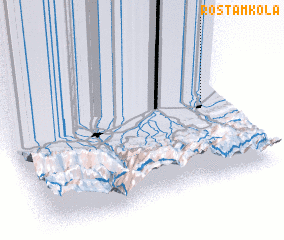 Places with similar names to Rostam Kolā, Iran ::
Disclaimer :: Information on this page comes without warranty of any kind |
||
|
Where is Rostam Kolā? Elevation and coordinates ::
Latitude (lat): 36°33'0"N Longitude (lon): 52°54'0"E
Elevation (approx.): 4m (map arrows pan, magnifying glasses zoom) |
||
|
Visiting Rostam Kolā? Hotel/Accommodation ::
Book a hotel in Rostam Kolā Travel Guide ::
Buy a travel guide for Iran rental cars ::
car rental offers GPS waypoint ::
download a GPX waypoint (PoI) of Rostam Kolā for your GPS receiver
|
||