|
search place name
|
||
Sāram (Iran)Sāram is a town in Iran. An overview map of the region around Sāram is displayed below.
regional and 3d topo map of Sāram, Iran ::
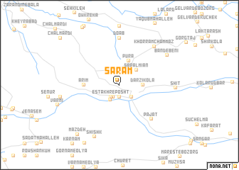
Nearby towns ::
Deram (1.9km south) //
Daram (2.0km south) //
Estakhr-e Posht (2.1km south west) //
Mollā Kheyl (2.5km north) //
Īvīm (2.4km south east) //
Hayavī (2.4km south east) //
Emāmzādeh Zobeydeh (2.4km north east) //
Ḩoseynābād (2.6km south west) //
Sapal Mīān (3.2km north east) //
Darzī Kolā (3.0km east) //
Pūrā (4.0km north) //
Arīm (4.5km west) //
Pajat (6.7km south east) //
Do Āb (7.4km north) //
Khorram Chammāz (7.5km north east) //
Band-e Benī (7.6km north east) //
Shīt (7.1km east) //
Shīshk (8.8km south) //
Maz Deh (9.4km south west) //
[all distances 'as the bird flies' and approximate] 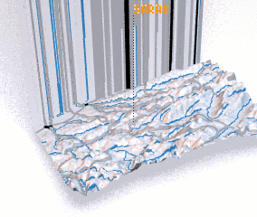 Places with similar names to Sāram, Iran ::
Disclaimer :: Information on this page comes without warranty of any kind |
||
|
Where is Sāram? Elevation and coordinates ::
Latitude (lat): 36°29'0"N Longitude (lon): 53°29'0"E
Elevation (approx.): 1057m (map arrows pan, magnifying glasses zoom) |
||
|
Visiting Sāram? Hotel/Accommodation ::
Book a hotel in Sāram Travel Guide ::
Buy a travel guide for Iran rental cars ::
car rental offers GPS waypoint ::
download a GPX waypoint (PoI) of Sāram for your GPS receiver
|
||