|
search place name
|
||
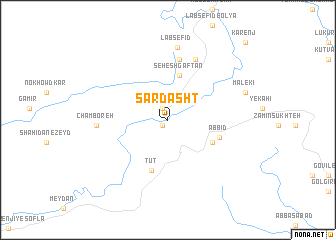
Sar Dasht (Khūzestān, Iran)Sar Dasht is a town in the Khūzestān region of Iran. An overview map of the region around Sar Dasht is displayed below.
regional and 3d topo map of Sar Dasht, Iran ::
Sar Dasht airports ::
The nearest airport is QMJ - Masjed Soleiman Shahid Asyaee, located 69.5 km south east of Sar Dasht.
Other airports nearby include AWZ - Ahwaz (127.7 km south), MRX - Bandar Mahshahr Mahshahr (216.8 km south), BSR - Basrah Intl (240.9 km south west), KSH - Bakhtaran Shahid Ashrafi Esfahani (256.7 km north west), Nearby towns ::
Tūt-e Soflá (0.8km south west) //
Tūt-e ‘Olyā (1.3km north) //
Seh Eshgaftān (5.1km north) //
Shahrak-e Emām Ḩoseyn (4.9km south east) //
Tūt (5.8km south) //
Āb Bīd (5.2km east) //
Lap-e Sefīd (6.9km north) //
Lab Sefīd-e Soflá (7.3km north) //
Chamboreh (6.8km west) //
Lab Sefīd (8.1km north) //
Malekī (7.9km north east) //
Kārenj (11.3km north east) //
[all distances 'as the bird flies' and approximate] 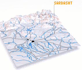 Places with similar names to Sar Dasht, Iran ::
// Sredishte (BG)
// Sredishte (BG)
// Sardasht (IQ)
// Sirdisht (IQ)
// Sarāy Dasht (IR)
// Sarāydasht (IR)
// Sar Dasht (IR)
// Sar Dasht (IR)
// Sar Dasht (IR)
// Sar Dasht (IR)
Disclaimer :: Information on this page comes without warranty of any kind |
||
|
Where is Sar Dasht? Elevation and coordinates ::
Latitude (lat): 32°29'20"N Longitude (lon): 48°48'19"E
Elevation (approx.): 447m (map arrows pan, magnifying glasses zoom) |
||
|
Visiting Sar Dasht? Hotel/Accommodation ::
Book a hotel in Sar Dasht Travel Guide ::
Buy a travel guide for Iran rental cars ::
car rental offers GPS waypoint ::
download a GPX waypoint (PoI) of Sar Dasht for your GPS receiver
|
||