|
search place name
|
||
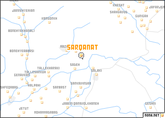
Sarqanāt (Ostān-e Būshehr, Iran)Sarqanāt is a town in the Ostān-e Būshehr region of Iran. An overview map of the region around Sarqanāt is displayed below.
regional and 3d topo map of Sarqanāt, Iran ::
Sarqanāt airports ::
The nearest airport is BUZ - Bushehr, located 71.2 km south west of Sarqanāt.
Other airports nearby include SYZ - Shiraz Shahid Dastghaib Intl (128.8 km east), Nearby towns ::
Bī Barāh (2.1km north west) //
Sadeh (2.6km south west) //
Boneh-ye Jāmūshī (3.0km south east) //
Mazāre‘ī (3.7km north west) //
Dālakī (4.5km south east) //
Sarkavīrdān (6.5km south) //
Kheyrābād-e Sarkavīrdān (7.5km south) //
Tall-e Kharakī (7.4km south west) //
Ḩeydarābād (8.4km south) //
Tall-e Qātel (7.7km south west) //
Sarbast (8.6km south west) //
Bashīrābād (9.9km south west) //
Kān Sorkh (10.6km north west) //
Emāmzādeh ‘Alī (11.2km north east) //
[all distances 'as the bird flies' and approximate] 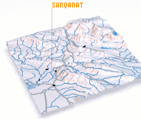 Places with similar names to Sarqanāt, Iran ::
// Şorkǝnd (AZ)
// Şurakǝnd (AZ)
// Şurakǝnd (AZ)
// Şurakǝnd (AZ)
// Cerro Cañito (PA)
// Saraykent (TR)
// Sarıkent (TR)
// Sarai Kānda (BD)
// Serkāndi (BD)
// Soārkāndi (BD)
Disclaimer :: Information on this page comes without warranty of any kind |
||
|
Where is Sarqanāt? Elevation and coordinates ::
Latitude (lat): 29°27'56"N Longitude (lon): 51°15'49"E
Elevation (approx.): 100m (map arrows pan, magnifying glasses zoom) |
||
|
Visiting Sarqanāt? Hotel/Accommodation ::
Book a hotel in Sarqanāt Travel Guide ::
Buy a travel guide for Iran rental cars ::
car rental offers GPS waypoint ::
download a GPX waypoint (PoI) of Sarqanāt for your GPS receiver
|
||