|
search place name
|
||
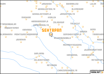
Sehtapān (Ostān-e Kermānshāh, Iran)Sehtapān is a town in the Ostān-e Kermānshāh region of Iran. An overview map of the region around Sehtapān is displayed below.
regional and 3d topo map of Sehtapān, Iran ::
Sehtapān airports ::
The nearest airport is SDG - Sanandaj, located 100.2 km north east of Sehtapān.
Other airports nearby include KSH - Bakhtaran Shahid Ashrafi Esfahani (111.3 km south east), Nearby towns ::
Bānī Pārīāb (3.7km north) //
Vānī Sar (3.6km north east) //
Anjīrebūs-e Bālā (3.4km east) //
Z̧olmeh Sūr (4.9km north east) //
Ḩaramīān-e ‘Olyā (4.7km north west) //
Pālān-e Soflá (4.8km north east) //
Choqāmārān-e Bargūr (4.6km west) //
Kīsaleh (6.1km north) //
Ḩaramīān-e Soflá (5.9km north west) //
Gerīsheh-ye Soflá (6.1km east) //
Mazra‘eh-ye Gūgerd (7.1km south east) //
Tāzehābād-e Amīn (7.1km south east) //
Zīārat-e Tamarkhān (7.1km south east) //
Deh Hūleh-ye Soflá (8.0km north) //
Dārlārad (7.9km south west) //
Darāb Gelal (7.1km north east) //
Taleh Tūt (7.9km north east) //
Kānī Karīm Yārvalī (8.7km south west) //
Jangeh-ye ‘Olyā (8.7km north east) //
Jangaleh-ye Soflá (8.7km north east) //
Kānī Dānīāl (9.6km south east) //
[all distances 'as the bird flies' and approximate] 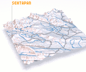 Places with similar names to Sehtapān, Iran ::
Disclaimer :: Information on this page comes without warranty of any kind |
||
|
Where is Sehtapān? Elevation and coordinates ::
Latitude (lat): 34°47'0"N Longitude (lon): 46°4'0"E
Elevation (approx.): 988m (map arrows pan, magnifying glasses zoom) |
||
|
Visiting Sehtapān? Hotel/Accommodation ::
Book a hotel in Sehtapān Travel Guide ::
Buy a travel guide for Iran rental cars ::
car rental offers GPS waypoint ::
download a GPX waypoint (PoI) of Sehtapān for your GPS receiver
|
||