|
search place name
|
||
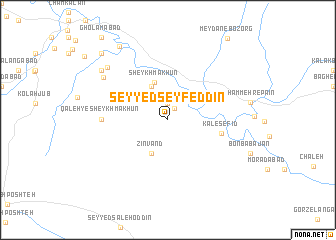
Seyyed Seyf ed Dīn (Īlām, Iran)Seyyed Seyf ed Dīn is a town in the Īlām region of Iran. An overview map of the region around Seyyed Seyf ed Dīn is displayed below.
regional and 3d topo map of Seyyed Seyf ed Dīn, Iran ::
Seyyed Seyf ed Dīn airports ::
The nearest airport is KSH - Bakhtaran Shahid Ashrafi Esfahani, located 141.1 km north of Seyyed Seyf ed Dīn.
Other airports nearby include QMJ - Masjed Soleiman Shahid Asyaee (208.6 km south east), AWZ - Ahwaz (230.5 km south east), Nearby towns ::
Armū (1.4km north east) //
Zeydābād (1.9km north) //
Cham Zhāb (4.0km north west) //
Zīnvand (4.0km south west) //
Sheykh Mākhūn (4.3km north) //
Kal-e Sefīd (5.3km east) //
Qal‘eh-ye Sheykh Mākhūn (6.2km west) //
Sheykh Makān (6.2km west) //
Shahīd Madanī (7.6km north west) //
Hūmān (8.1km north west) //
Jahādābād (8.3km north west) //
Cham Namesht (9.3km north west) //
Shahīd Şadūqī (9.7km north west) //
[all distances 'as the bird flies' and approximate] 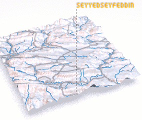 Places with similar names to Seyyed Seyf ed Dīn, Iran :: Disclaimer :: Information on this page comes without warranty of any kind |
||
|
Where is Seyyed Seyf ed Dīn? Elevation and coordinates ::
Latitude (lat): 33°6'0"N Longitude (lon): 47°28'0"E
Elevation (approx.): 631m (map arrows pan, magnifying glasses zoom) |
||
|
Visiting Seyyed Seyf ed Dīn? Hotel/Accommodation ::
Book a hotel in Seyyed Seyf ed Dīn Travel Guide ::
Buy a travel guide for Iran rental cars ::
car rental offers GPS waypoint ::
download a GPX waypoint (PoI) of Seyyed Seyf ed Dīn for your GPS receiver
|
||