|
search place name
|
||
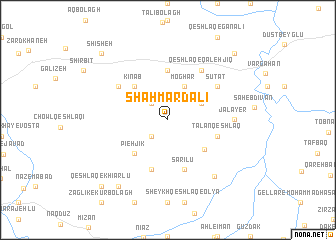
Shāh Mard‘alī (Ostān-e Āz̄arbāyjān-e Sharqī, Iran)Shāh Mard‘alī is a town in the Ostān-e Āz̄arbāyjān-e Sharqī region of Iran. An overview map of the region around Shāh Mard‘alī is displayed below.
regional and 3d topo map of Shāh Mard‘alī, Iran ::
Shāh Mard‘alī airports ::
The nearest airport is TBZ - Tabriz Intl, located 111.7 km west of Shāh Mard‘alī.
Nearby towns ::
Ḩājū (2.4km north west) //
Seyyedlī (2.4km south west) //
Moghār (4.0km north) //
Qareh Qeshlāq (3.4km north east) //
Kīnāb (4.7km north west) //
Pārcheh Qeshlāq (4.7km south west) //
Pīeh Jīk (4.7km south west) //
Bālī Qeshlāq (4.6km south east) //
Tātār (5.6km north) //
Sārīlū (5.7km south) //
Ţalān Qeshlāq (4.7km south east) //
Qeshlāq-e Najaf Khānlū (5.7km south) //
Sūtāt (5.7km north east) //
Chanābgū (5.7km north west) //
Qeshlāq-e Qal‘ehjīq (6.3km north east) //
Asperkhān (5.8km east) //
Jalāyer (5.8km east) //
Khān Kandī (7.5km south east) //
Qeshlāq-e Ḩājjīlār (8.6km south west) //
Qeshlāq-e Kohol (9.4km north east) //
Shīsheh (9.4km north west) //
Qeshlāq-e Khīārlū (9.4km south west) //
[all distances 'as the bird flies' and approximate] 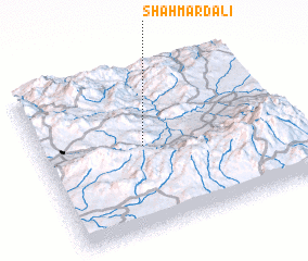 Places with similar names to Shāh Mard‘alī, Iran ::
// Chimartalai (PK)
Disclaimer :: Information on this page comes without warranty of any kind |
||
|
Where is Shāh Mard‘alī? Elevation and coordinates ::
Latitude (lat): 38°31'0"N Longitude (lon): 47°25'0"E
Elevation (approx.): 1293m (map arrows pan, magnifying glasses zoom) |
||
|
Visiting Shāh Mard‘alī? Hotel/Accommodation ::
Book a hotel in Shāh Mard‘alī Travel Guide ::
Buy a travel guide for Iran rental cars ::
car rental offers GPS waypoint ::
download a GPX waypoint (PoI) of Shāh Mard‘alī for your GPS receiver
|
||