|
search place name
|
||
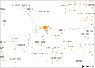
Shāl (Ardabīl, Iran)Shāl is a town in the Ardabīl region of Iran. An overview map of the region around Shāl is displayed below.
regional and 3d topo map of Shāl, Iran ::
Shāl airports ::
The nearest airport is RAS - Rasht, located 73.1 km east of Shāl.
Other airports nearby include RZR - Ramsar (174.5 km east), Nearby towns ::
Dīz (2.3km south west) //
Āsīābar (3.3km north west) //
Bāgh (3.6km south east) //
Ţārom Dasht (4.8km south west) //
Isto (4.3km west) //
Lār Deh (4.5km east) //
Dāsh Qeshlāq (6.9km south) //
Andareh (5.8km west) //
Khollar-e Gīlavān (7.4km south) //
Bāgh-e Zarrīn Kaff (7.3km north) //
Deylamdeh (7.8km north) //
Gīlavān (7.6km south) //
Bāgh Qareh (7.1km south west) //
Qeshlāq-e Mājlān (8.1km south) //
Khāneqāh (7.8km south east) //
Qeshlāq-e Dīz (7.2km south west) //
‘Alīābād (7.8km south east) //
Mājlān (8.7km south) //
Jalālīyeh (7.6km south east) //
Emāmzādeh Seyyed Ebrāhīm (7.5km west) //
Ākhūnd Maḩalleh (9.7km north west) //
Kehel (9.9km south east) //
‘Alīvāsh (9.9km north east) //
Kolowr (10.4km north west) //
Emāmzādeh ‘Abdollāh (10.3km north west) //
[all distances 'as the bird flies' and approximate] 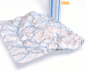 Places with similar names to Shāl, Iran ::
Disclaimer :: Information on this page comes without warranty of any kind |
||
|
Where is Shāl? Elevation and coordinates ::
Latitude (lat): 37°18'36"N Longitude (lon): 48°46'52"E
Elevation (approx.): 1743m (map arrows pan, magnifying glasses zoom) |
||
|
Visiting Shāl? Hotel/Accommodation ::
Book a hotel in Shāl Travel Guide ::
Buy a travel guide for Iran rental cars ::
car rental offers GPS waypoint ::
download a GPX waypoint (PoI) of Shāl for your GPS receiver
|
||