|
search place name
|
||
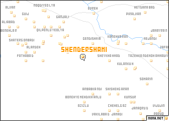
Shender Shāmī (Iran)Shender Shāmī is a town in Iran. An overview map of the region around Shender Shāmī is displayed below.
regional and 3d topo map of Shender Shāmī, Iran ::
Shender Shāmī airports ::
The nearest airport is TBZ - Tabriz Intl, located 158.7 km west of Shender Shāmī.
Other airports nearby include RAS - Rasht (183.8 km south east), Nearby towns ::
Gendīshmīn (4.0km north) //
Taqī Kandī (3.4km north west) //
Sheykh Aḩmad (4.4km east) //
Khodā Kandī (5.4km north west) //
Dāshbolāgh (5.7km north west) //
Gāvmīsh Owlan-e Soflá (6.3km north west) //
Gāvmīsh Owlan-e ‘Olyā (6.3km north west) //
Khodā Kandī-ye Bālā (6.2km north west) //
Arbāb Kandī (7.6km south) //
Qūnāq Qerān (6.9km north east) //
Kaneh Karān (7.3km north east) //
Konsūl Kandī (8.6km south east) //
Qīlpenlū-ye ‘Olyā (8.0km north west) //
Āqcheh Qeshlāq (8.6km north west) //
Ganj‘alī (9.3km north west) //
Shīsheh Garān (9.4km south east) //
Qīlpenlū-ye Soflá (9.4km north west) //
Chenāq Bolāgh (10.2km north west) //
[all distances 'as the bird flies' and approximate] 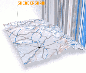 Places with similar names to Shender Shāmī, Iran :: Disclaimer :: Information on this page comes without warranty of any kind |
||
|
Where is Shender Shāmī? Elevation and coordinates ::
Latitude (lat): 38°24'0"N Longitude (lon): 48°1'0"E
Elevation (approx.): 1943m (map arrows pan, magnifying glasses zoom) |
||
|
Visiting Shender Shāmī? Hotel/Accommodation ::
Book a hotel in Shender Shāmī Travel Guide ::
Buy a travel guide for Iran rental cars ::
car rental offers GPS waypoint ::
download a GPX waypoint (PoI) of Shender Shāmī for your GPS receiver
|
||