|
search place name
|
||
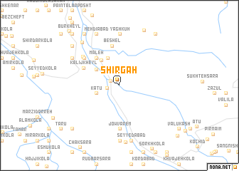
Shīr Gāh (Iran)Shīr Gāh is a town in Iran. An overview map of the region around Shīr Gāh is displayed below.
regional and 3d topo map of Shīr Gāh, Iran ::
Shīr Gāh airports ::
The nearest airport is THR - Teheran Mehrabad Intl, located 158.0 km south west of Shīr Gāh.
Nearby towns ::
Sarchāk-e Ḩājjīābād (1.3km north west) //
Zīvalā (1.6km west) //
Chālī (2.8km north west) //
Katū (3.2km south west) //
Ḩājjīābād (3.2km south west) //
Shīrjeh Kolā (3.8km north west) //
Sarāb Gardān (3.8km north west) //
Andār Kolī (4.5km north) //
Āb Dang Sar (4.5km north west) //
Tappeh Sar (5.2km north west) //
Mal‘eh (5.2km north west) //
Kalīj Kheyl (5.2km north west) //
Beshel (6.2km north) //
Jowvārem (6.8km south) //
Chā'ī Bāgh (6.2km north west) //
Ābrang Sar (6.2km north west) //
Āhangar Kolā (6.4km north west) //
Yāgh Kūh (8.0km north) //
Kalīj Kalā (7.3km north west) //
Īstgāh-e Mīrvarzān (8.7km south) //
Javārem (8.7km south) //
Mehdīābād (8.5km north) //
Malafeh (8.5km north) //
Dūkān Sar (8.5km north) //
Kotī Lateh (8.2km north west) //
Nowābād (8.8km south) //
Mīrvarzān (8.8km south) //
Seyyedābād (8.8km south) //
Berenjestānak (9.2km north) //
[all distances 'as the bird flies' and approximate] 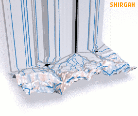 Places with similar names to Shīr Gāh, Iran ::
Disclaimer :: Information on this page comes without warranty of any kind |
||
|
Where is Shīr Gāh? Elevation and coordinates ::
Latitude (lat): 36°17'41"N Longitude (lon): 52°53'57"E
Elevation (approx.): 255m (map arrows pan, magnifying glasses zoom) |
||
|
Visiting Shīr Gāh? Hotel/Accommodation ::
Book a hotel in Shīr Gāh Travel Guide ::
Buy a travel guide for Iran rental cars ::
car rental offers GPS waypoint ::
download a GPX waypoint (PoI) of Shīr Gāh for your GPS receiver
|
||