|
search place name
|
||
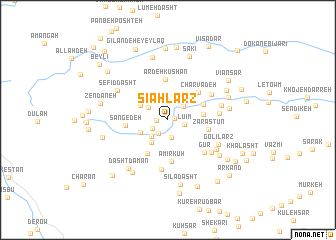
Sīāh Larz (Gīlān, Iran)Sīāh Larz is a town in the Gīlān region of Iran. An overview map of the region around Sīāh Larz is displayed below.
regional and 3d topo map of Sīāh Larz, Iran ::
Sīāh Larz airports ::
The nearest airport is RAS - Rasht, located 72.1 km east of Sīāh Larz.
Other airports nearby include RZR - Ramsar (177.7 km east), Nearby towns ::
Sarā Golī (0.6km north) //
Almās (0.6km east) //
Āq Masjed (1.0km west) //
Kangelīveh (1.7km south west) //
Seh Rāh-e Gīlī (1.7km south west) //
Lū'īm (1.5km east) //
Tūleh Gūnd (2.0km south) //
Mīānrūd (1.7km south west) //
Pārgām (2.0km north east) //
Pūnehkhvār (2.2km north west) //
Kohneh Kalān (2.4km north west) //
Māfeh Maḩalleh (2.3km south west) //
Ardeh (2.6km north) //
Anjeh (2.9km south west) //
Dāsht Dāmān (2.8km south west) //
Arestān (2.9km north west) //
Yertīm (3.3km east) //
Vaskeh (3.6km north east) //
Kūleh (4.2km south west) //
Ardeh Kūshan (4.5km north) //
Charvadeh (4.1km north east) //
Amīr Kūh (4.6km south) //
Zarāstūn (3.8km east) //
Sangedeh (3.8km west) //
Gūr (4.9km south east) //
Seh Kūhsar (5.5km south) //
Andal (4.8km north east) //
Rowshandeh (4.6km east) //
Shīrbacheh Pīr (5.2km south east) //
[all distances 'as the bird flies' and approximate] 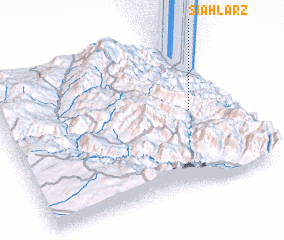 Places with similar names to Sīāh Larz, Iran ::
Disclaimer :: Information on this page comes without warranty of any kind |
||
|
Where is Sīāh Larz? Elevation and coordinates ::
Latitude (lat): 37°30'55"N Longitude (lon): 48°49'36"E
Elevation (approx.): 888m (map arrows pan, magnifying glasses zoom) |
||
|
Visiting Sīāh Larz? Hotel/Accommodation ::
Book a hotel in Sīāh Larz Travel Guide ::
Buy a travel guide for Iran rental cars ::
car rental offers GPS waypoint ::
download a GPX waypoint (PoI) of Sīāh Larz for your GPS receiver
|
||