|
search place name
|
||
Sībak-e S̄āles̄ (Khorāsān, Iran)Sībak-e S̄āles̄ is a town in the Khorāsān region of Iran. An overview map of the region around Sībak-e S̄āles̄ is displayed below.
regional and 3d topo map of Sībak-e S̄āles̄, Iran ::
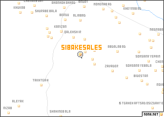
Nearby towns ::
Dūzanag (1.7km north) //
Bāgh-e Now (1.9km east) //
Kalāteh-ye Bozorg (2.4km north) //
Chāhak (2.6km south east) //
Gel Kan (2.9km north east) //
Seyyedābād (3.5km north west) //
Ḩasanak (4.4km north) //
Qal‘eh Shīr (5.2km north) //
Zavāder (6.4km south east) //
Kārīzān (7.3km north west) //
Abdālābād (6.8km east) //
Khāk Shūr (7.4km north west) //
‘Alīābād (8.7km north) //
Sībak-e Bālā (8.1km north west) //
Sībak-e Pā'īn (8.5km north west) //
Berdū (9.4km north) //
Kalāteh-ye Āqā Moḩammad (9.5km north west) //
Chāh-e Şalevātī va Ghoncheh ‘Alī (10.8km north east) //
[all distances 'as the bird flies' and approximate] 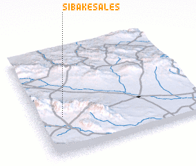 Places with similar names to Sībak-e S̄āles̄, Iran :: Disclaimer :: Information on this page comes without warranty of any kind |
||
|
Where is Sībak-e S̄āles̄? Elevation and coordinates ::
Latitude (lat): 35°22'10"N Longitude (lon): 60°9'36"E
Elevation (approx.): 1541m (map arrows pan, magnifying glasses zoom) |
||
|
Visiting Sībak-e S̄āles̄? Hotel/Accommodation ::
Book a hotel in Sībak-e S̄āles̄ Travel Guide ::
Buy a travel guide for Iran rental cars ::
car rental offers GPS waypoint ::
download a GPX waypoint (PoI) of Sībak-e S̄āles̄ for your GPS receiver
|
||