|
search place name
|
||
Sonnat-e Bālā (Ostān-e Āz̄arbāyjān-e Sharqī, Iran)Sonnat-e Bālā is a town in the Ostān-e Āz̄arbāyjān-e Sharqī region of Iran. An overview map of the region around Sonnat-e Bālā is displayed below.
regional and 3d topo map of Sonnat-e Bālā, Iran ::

Sonnat-e Bālā airports ::
The nearest airport is VAN - Van, located 126.4 km west of Sonnat-e Bālā.
Other airports nearby include TBZ - Tabriz Intl (155.7 km south east), Nearby towns ::
Sonnat-e Pā'īn (1.9km north) //
Mollā Esmā‘īl (3.7km north) //
Kūlūs (4.0km north) //
Sūsūz (4.7km south east) //
Kūrash (6.3km north east) //
Qīz Ūlan (5.7km north west) //
Kafīl (7.4km north) //
Āghbāsh (6.1km west) //
Koramīshak (6.9km south west) //
Qūrqān (7.8km north west) //
Āgh Mazār-e Kord (8.0km north east) //
Arīklū (8.6km north west) //
Qareh Āghāj (9.4km north east) //
Ājīdgeh (9.4km south east) //
Qīz-e Pā'īn (9.4km south west) //
[all distances 'as the bird flies' and approximate] 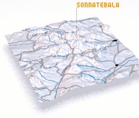 Places with similar names to Sonnat-e Bālā, Iran ::
// Sandabuli (MM)
// Santaballa (ES)
// Sindhbal (IN)
// Sande Baléa (ML)
// Saintable (HT)
// Saint-Boil (FR)
// Zantobli (LR)
// Zondobli (LR)
// Sandbol (SE)
// Sandbol (SE)
Disclaimer :: Information on this page comes without warranty of any kind |
||
|
Where is Sonnat-e Bālā? Elevation and coordinates ::
Latitude (lat): 38°51'0"N Longitude (lon): 44°42'0"E
Elevation (approx.): 1663m (map arrows pan, magnifying glasses zoom) |
||
|
Visiting Sonnat-e Bālā? Hotel/Accommodation ::
Book a hotel in Sonnat-e Bālā Travel Guide ::
Buy a travel guide for Iran rental cars ::
car rental offers GPS waypoint ::
download a GPX waypoint (PoI) of Sonnat-e Bālā for your GPS receiver
|
||