|
search place name
|
||
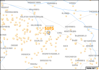
Sūrg (Khorāsān, Iran)Sūrg is a town in the Khorāsān region of Iran. An overview map of the region around Sūrg is displayed below.
regional and 3d topo map of Sūrg, Iran ::
Sūrg airports ::
The nearest airport is XBJ - Birjand, located 18.1 km north west of Sūrg.
Nearby towns ::
Sar Nābeh (0.7km south) //
Kalāteh-ye Moḩammad Ḩoseyn Khān (1.2km north west) //
Behdān (1.5km south) //
Kalāteh-ye Darvīsh (1.3km west) //
Kalāteh-ye Moḩammad Zamān (1.7km south) //
Gazān (1.5km north west) //
Sar Posht-e Behdān (1.8km south) //
Bahlgerd (1.9km north) //
Khūnīk (2.0km north west) //
Sa‘īdābād (2.2km north) //
Bīdestān (2.0km west) //
Tak Omak (2.5km south) //
Tangal-e Bālā (2.5km south west) //
Borzekān (2.6km north west) //
Naşrābād (2.7km south east) //
Khorāshād (2.8km south east) //
‘Abbāsābād (3.2km south) //
Sar Tangal (3.3km south) //
Bonābād (2.9km east) //
Kalāteh-ye Qannādān (3.0km south west) //
Torsh Āb (3.0km west) //
Kalāteh-ye Bālā (3.5km north west) //
Būnik (3.3km north west) //
Būshād (3.4km north west) //
Maḩmūdābād (3.9km south) //
Malekābād (3.7km south east) //
Kalāteh-ye Pā-ye Lākh (3.4km west) //
Chāj (3.4km east) //
Kalāteh-ye Āb Khonak (3.8km west) //
[all distances 'as the bird flies' and approximate]  Places with similar names to Sūrg, Iran ::
Disclaimer :: Information on this page comes without warranty of any kind |
||
|
Where is Sūrg? Elevation and coordinates ::
Latitude (lat): 32°45'52"N Longitude (lon): 59°22'40"E
Elevation (approx.): 1902m (map arrows pan, magnifying glasses zoom) |
||
|
Visiting Sūrg? Hotel/Accommodation ::
Book a hotel in Sūrg Travel Guide ::
Buy a travel guide for Iran rental cars ::
car rental offers GPS waypoint ::
download a GPX waypoint (PoI) of Sūrg for your GPS receiver
|
||