|
search place name
|
||
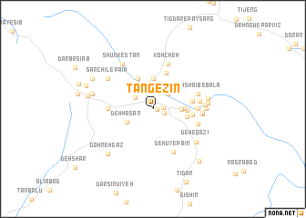
Tang-e Zīn (Kermān, Iran)Tang-e Zīn is a town in the Kermān region of Iran. An overview map of the region around Tang-e Zīn is displayed below.
regional and 3d topo map of Tang-e Zīn, Iran ::
Tang-e Zīn airports ::
The nearest airport is KER - Kerman, located 38.2 km south west of Tang-e Zīn.
Nearby towns ::
Tī Zeng (0.5km east) //
Deh Kāfī (1.1km east) //
Poshteh-ye Shīrān (1.3km south east) //
Deh Lūlū (2.3km north west) //
Deh Lāleh (2.4km north east) //
Anārestān (2.8km north east) //
Sar Asīāb (3.0km east) //
Ḩoseynābād (3.2km south west) //
Deh Ḩasan (3.2km south west) //
Dohū Jūlā (3.7km north) //
Amoqābād (3.7km north) //
Rūlardū (3.7km north) //
Rūdkhāneh (3.7km north) //
Kam-e Kīshū'īyeh (3.7km north) //
Dūngeh Nīm (3.3km east) //
Bāb Ţāher (4.0km north west) //
Deh Taqī (4.0km north west) //
Deh Sāqīā (4.0km north west) //
Deh Sheykh (4.0km north west) //
Vāmeqābād (4.0km north west) //
Deh Solţān (4.0km north west) //
Bāgh-e Cheshmeh Gū (3.7km east) //
Tītūn (3.7km east) //
Āb Shūrū'īyeh (4.6km north) //
Karmālī (4.3km east) //
Bāghestān (4.3km east) //
Kheyrābād (4.6km east) //
Kormānī (4.8km east) //
Deh Shīb (4.8km east) //
[all distances 'as the bird flies' and approximate] 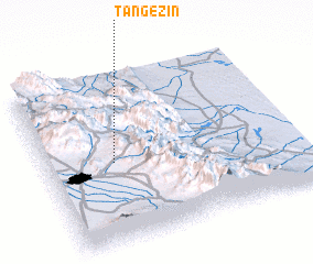 Places with similar names to Tang-e Zīn, Iran :: Disclaimer :: Information on this page comes without warranty of any kind |
||
|
Where is Tang-e Zīn? Elevation and coordinates ::
Latitude (lat): 30°29'0"N Longitude (lon): 57°16'0"E
Elevation (approx.): 2015m (map arrows pan, magnifying glasses zoom) |
||
|
Visiting Tang-e Zīn? Hotel/Accommodation ::
Book a hotel in Tang-e Zīn Travel Guide ::
Buy a travel guide for Iran rental cars ::
car rental offers GPS waypoint ::
download a GPX waypoint (PoI) of Tang-e Zīn for your GPS receiver
|
||