|
search place name
|
||
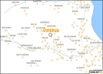
Vīrā Rūd (Gīlān, Iran)Vīrā Rūd is a town in the Gīlān region of Iran. An overview map of the region around Vīrā Rūd is displayed below.
regional and 3d topo map of Vīrā Rūd, Iran ::
Vīrā Rūd airports ::
The nearest airport is RAS - Rasht, located 92.7 km south east of Vīrā Rūd.
Other airports nearby include RZR - Ramsar (197.0 km south east), Nearby towns ::
Alsheh Chāleh (0.8km north) //
Poshteh Hīr (1.5km north east) //
Lamīr (1.9km south) //
Lor (1.9km south) //
Sardāb (2.0km east) //
Lūrdan (2.3km south east) //
Lūrūn (2.3km south east) //
Razeh (2.2km south west) //
Karālā (2.6km north) //
Qal‘eh Chāl (2.5km north east) //
Kandūleh (2.5km south west) //
Kīsh Dībī (2.8km south east) //
Sīgh Chāl (3.1km north) //
Kalehvar (3.4km south) //
Pūshak (3.3km south east) //
Agrībījār (3.5km south) //
Kolūneh (3.1km south west) //
Tankāb-e Dovvom (3.5km south west) //
Bask (3.0km west) //
Jengū (3.2km south east) //
Būrā Pest (3.6km south west) //
Lowādeh (3.5km north west) //
Mas̄alankūh (4.1km south east) //
Tangāb-e Avval (4.4km south) //
Ūlehchāl (3.9km north west) //
Sarahlīvah (4.6km south) //
Hūdeh (4.5km south east) //
Rasmahjī (4.8km north west) //
Sīlahsar (5.0km south west) //
[all distances 'as the bird flies' and approximate] 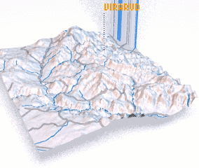 Places with similar names to Vīrā Rūd, Iran ::
Disclaimer :: Information on this page comes without warranty of any kind |
||
|
Where is Vīrā Rūd? Elevation and coordinates ::
Latitude (lat): 37°51'43"N Longitude (lon): 48°48'5"E
Elevation (approx.): 685m (map arrows pan, magnifying glasses zoom) |
||
|
Visiting Vīrā Rūd? Hotel/Accommodation ::
Book a hotel in Vīrā Rūd Travel Guide ::
Buy a travel guide for Iran rental cars ::
car rental offers GPS waypoint ::
download a GPX waypoint (PoI) of Vīrā Rūd for your GPS receiver
|
||