|
search place name
|
||
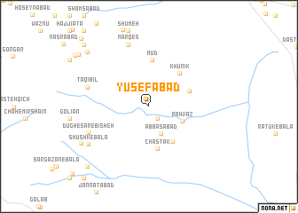
Yūsefābād (Khorāsān, Iran)Yūsefābād is a town in the Khorāsān region of Iran. An overview map of the region around Yūsefābād is displayed below.
regional and 3d topo map of Yūsefābād, Iran ::
Yūsefābād airports ::
The nearest airport is XBJ - Birjand, located 79.1 km west of Yūsefābād.
Nearby towns ::
Khar Mīrī (1.8km south east) //
Ebrāhīmābād (2.2km north) //
‘Abbāsābād (3.6km south) //
Pahvāz (4.0km south east) //
Chastak-e Pā'īn (5.0km south east) //
Chastak (5.3km south) //
Chahār Tang (4.7km north east) //
Khūnīk (5.3km north east) //
Mūd (5.9km north) //
Dehak (7.0km west) //
Marqeş (8.0km north) //
Taqī Bīl (7.0km west) //
Dūgh-e Sar-e Bīsheh (7.3km south west) //
Shūshk-e Bālā (8.0km south west) //
Shūshk-e Pā'īn (8.5km south west) //
Taqandīk (9.5km north west) //
Khārān (10.0km south west) //
Sarshābād (9.9km north west) //
Eskīvank (10.0km north west) //
Kheyrābād (10.3km north west) //
Kalāteh-ye Kāchī (11.1km north west) //
[all distances 'as the bird flies' and approximate] 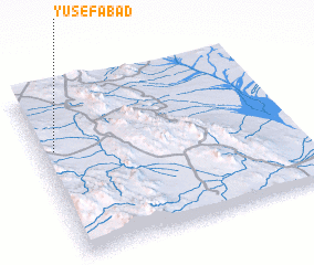 Places with similar names to Yūsefābād, Iran ::
Disclaimer :: Information on this page comes without warranty of any kind |
||
|
Where is Yūsefābād? Elevation and coordinates ::
Latitude (lat): 32°38'50"N Longitude (lon): 60°3'24"E
Elevation (approx.): 1659m (map arrows pan, magnifying glasses zoom) |
||
|
Visiting Yūsefābād? Hotel/Accommodation ::
Book a hotel in Yūsefābād Travel Guide ::
Buy a travel guide for Iran rental cars ::
car rental offers GPS waypoint ::
download a GPX waypoint (PoI) of Yūsefābād for your GPS receiver
|
||