|
search place name
|
||
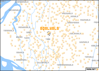
Aqalwāla (Punjab, Pakistan)Aqalwāla is a town in the Punjab region of Pakistan. An overview map of the region around Aqalwāla is displayed below.
regional and 3d topo map of Aqalwāla, Pakistan ::
Aqalwāla airports ::
The nearest airport is MUX - Multan Intl, located 76.1 km south east of Aqalwāla.
Other airports nearby include PZH - Zhob (156.0 km north west), Nearby towns ::
Lakhewāla (0.8km north west) //
Tarkhānwāla (1.3km north) //
Naīwāla (1.2km north east) //
Sovyānwāla (1.4km south east) //
Chhannīwāla (1.3km east) //
Bhināsri (1.6km south east) //
Kumhārwāla (1.6km west) //
Kālūwāla (2.1km south east) //
Kot Sultān (2.2km north) //
Charhoewāla (2.0km north east) //
Bhuttewāla (2.2km north) //
Tibbi (2.4km south) //
Wattewāla (2.4km north east) //
Lohārwāla (2.5km south east) //
Naurangwāla (2.5km north west) //
Pachārwāla (2.4km west) //
Ladhīwāla (2.6km south east) //
Kurāīwāla (2.9km south west) //
Shākarwāla (2.8km south west) //
Chhīnewāla (2.7km east) //
Māchhīwāla (3.0km south east) //
Yūsufwāla (2.8km south east) //
Anārwāla (3.2km south) //
Māi Bhalli (3.2km north east) //
Gauharwāla (3.1km south west) //
Mochiwāla (3.2km north west) //
Karārewāla (3.5km south east) //
Saldewāla (3.4km south east) //
Langarwāla (3.4km north east) //
[all distances 'as the bird flies' and approximate] 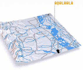
Disclaimer :: Information on this page comes without warranty of any kind |
||
|
Where is Aqalwāla? Elevation and coordinates ::
Latitude (lat): 30°44'50"N Longitude (lon): 70°56'10"E
Elevation (approx.): 140m (map arrows pan, magnifying glasses zoom) |
||
|
Visiting Aqalwāla? Hotel/Accommodation ::
Book a hotel in Aqalwāla Travel Guide ::
Buy a travel guide for Pakistan rental cars ::
car rental offers GPS waypoint ::
download a GPX waypoint (PoI) of Aqalwāla for your GPS receiver
|
||