|
search place name
|
||
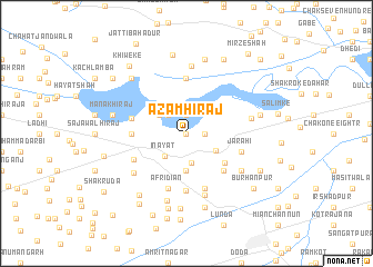
Āzam Hirāj (Punjab, Pakistan)Āzam Hirāj is a town in the Punjab region of Pakistan. An overview map of the region around Āzam Hirāj is displayed below.
regional and 3d topo map of Āzam Hirāj, Pakistan ::
Āzam Hirāj airports ::
The nearest airport is MUX - Multan Intl, located 90.8 km south west of Āzam Hirāj.
Other airports nearby include LYP - Faisalabad Intl (114.6 km north east), Nearby towns ::
Chughatta Panjuāna (0.0km north) //
Ghāzi Pāndha (1.6km east) //
Bela Panjuāna (1.9km north) //
Tārāpur (2.4km north west) //
Rautla (2.4km north west) //
Chak Twenty-two-Eight R (3.0km south) //
Ināyat (3.0km south west) //
Dāduāna (3.0km north west) //
Chak Seven-Eight R (3.0km south east) //
Nar Singhpur (3.7km south) //
Baranwāla (4.4km south east) //
Pakka Hāji Majīd (4.9km south east) //
Talamba (4.8km west) //
Panjuāna (5.6km north) //
Sadrābād (5.7km south) //
Magha Hirāj (5.0km west) //
Afrīdīan (5.8km south) //
Jarāhi (5.1km east) //
Krishannagar (5.8km south) //
Bhingān (5.2km south west) //
Chak Thirteen (6.4km south) //
Guru Gobindpur (6.0km south west) //
Rautla (5.8km east) //
Kot Barkat Ali (6.1km south east) //
Jarola (6.8km north) //
Musāfirābād (7.0km south) //
Sadrābād (7.6km south) //
Mānak Hirāj (6.6km west) //
Chak Twelve-Eight AR (7.6km south) //
[all distances 'as the bird flies' and approximate] 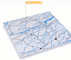 Places with similar names to Āzam Hirāj, Pakistan :: Disclaimer :: Information on this page comes without warranty of any kind |
||
|
Where is Āzam Hirāj? Elevation and coordinates ::
Latitude (lat): 30°32'0"N Longitude (lon): 72°17'0"E
Elevation (approx.): 145m (map arrows pan, magnifying glasses zoom) |
||
|
Visiting Āzam Hirāj? Hotel/Accommodation ::
Book a hotel in Āzam Hirāj Travel Guide ::
Buy a travel guide for Pakistan rental cars ::
car rental offers GPS waypoint ::
download a GPX waypoint (PoI) of Āzam Hirāj for your GPS receiver
|
||