|
search place name
|
||
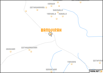
Band Vīrāh (Sind, Pakistan)Band Vīrāh is a town in the Sind region of Pakistan. An overview map of the region around Band Vīrāh is displayed below.
regional and 3d topo map of Band Vīrāh, Pakistan ::
Band Vīrāh airports ::
The nearest airport is WNS - Nawabshah, located 77.6 km north east of Band Vīrāh.
Other airports nearby include BDN - Talhar (113.1 km south east), KHI - Karachi Jinnah Intl (118.1 km south west), MJD - Moenjodaro (194.2 km north), Nearby towns ::
Goth Murīd (6.7km north) //
Yārīwāla (7.4km north) //
Īsāwāla (8.3km north east) //
Sherwāla (9.0km north) //
Faiz Muhammad (8.7km south west) //
Goth Murād Khān (8.7km south west) //
[all distances 'as the bird flies' and approximate] 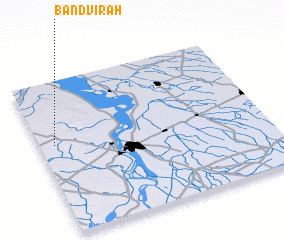 Places with similar names to Band Vīrāh, Pakistan ::
// Ban Duai Phra (TH)
// Ban Ta Phra (TH)
// Bentivar (US)
// Bandiforo (CF)
// Baandofari (SN)
// Bantã Foru (GW)
Disclaimer :: Information on this page comes without warranty of any kind |
||
|
Where is Band Vīrāh? Elevation and coordinates ::
Latitude (lat): 25°35'0"N Longitude (lon): 68°4'0"E
Elevation (approx.): 95m (map arrows pan, magnifying glasses zoom) |
||
|
Visiting Band Vīrāh? Hotel/Accommodation ::
Book a hotel in Band Vīrāh Travel Guide ::
Buy a travel guide for Pakistan rental cars ::
car rental offers GPS waypoint ::
download a GPX waypoint (PoI) of Band Vīrāh for your GPS receiver
|
||