|
search place name
|
||
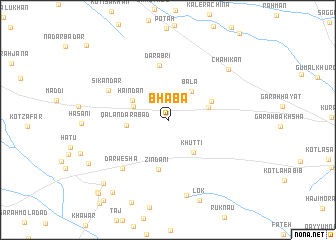
Bhāba (North-West Frontier, Pakistan)Bhāba is a town in the North-West Frontier region of Pakistan. An overview map of the region around Bhāba is displayed below.
regional and 3d topo map of Bhāba, Pakistan ::
Bhāba airports ::
The nearest airport is PZH - Zhob, located 128.8 km south west of Bhāba.
Other airports nearby include MUX - Multan Intl (197.0 km south), Nearby towns ::
Bāla (3.9km north east) //
Pairhan (3.6km north west) //
Haindan (4.0km north west) //
Khutti (4.4km south east) //
Qalandarābād (4.0km west) //
Aba Shahīd (4.1km east) //
Aba Shahīd (4.6km north east) //
Zindāni (5.6km south) //
Darābri (6.2km north) //
Sikāndar (6.5km north west) //
Darwesha (7.0km south west) //
Dakhna (8.6km south) //
Chāhikān (8.0km north east) //
Akhmad (8.9km south west) //
Sheru Kūhna (9.4km south west) //
Khudka (9.6km south west) //
Mehar Beg (10.5km south west) //
Garah Did Shamālī (10.6km south west) //
[all distances 'as the bird flies' and approximate] 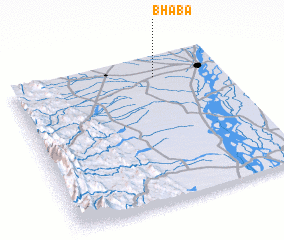 Places with similar names to Bhāba, Pakistan ::
Disclaimer :: Information on this page comes without warranty of any kind |
||
|
Where is Bhāba? Elevation and coordinates ::
Latitude (lat): 31°51'50"N Longitude (lon): 70°41'10"E
Elevation (approx.): 187m (map arrows pan, magnifying glasses zoom) |
||
|
Visiting Bhāba? Hotel/Accommodation ::
Book a hotel in Bhāba Travel Guide ::
Buy a travel guide for Pakistan rental cars ::
car rental offers GPS waypoint ::
download a GPX waypoint (PoI) of Bhāba for your GPS receiver
|
||