|
search place name
|
||
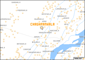
Chadhranwāla (Punjab, Pakistan)Chadhranwāla is a town in the Punjab region of Pakistan. An overview map of the region around Chadhranwāla is displayed below.
regional and 3d topo map of Chadhranwāla, Pakistan ::
Chadhranwāla airports ::
The nearest airport is MUX - Multan Intl, located 83.5 km south west of Chadhranwāla.
Other airports nearby include LYP - Faisalabad Intl (124.7 km north east), Nearby towns ::
Butwāla (1.6km north west) //
Basti Maloniānwāli (1.6km north east) //
Nawāzish Nagar (2.6km south east) //
Siprānwāli (2.4km east) //
Lal Khān (2.8km south) //
Jindo (2.9km north) //
Hussainābād (3.0km north east) //
Kīkarwāla (3.0km south east) //
Gihānwāla (3.3km south) //
Murādwāla (3.6km north west) //
Sajanwāla (3.9km north) //
Diāna (4.0km north east) //
Dorewāla (4.3km south) //
Kapūri (4.6km south west) //
Burzwāla (5.6km south) //
Burziwāla (5.0km east) //
Naya Sewa (5.7km south) //
Chāh Tillal (5.8km north) //
Akbarwāla (5.6km south west) //
Siālkot (5.8km north east) //
Purāna Sewa (6.2km south) //
Hayātwāla (6.2km north) //
Gialpur (6.5km south) //
Bhāgtānwāla (5.6km east) //
Tarrānwāla (5.7km east) //
Nūrewāla (7.0km south) //
Ibālwāla (6.9km south) //
Lailānwāla (6.2km north east) //
Sultān Bhu (6.8km south east) //
[all distances 'as the bird flies' and approximate] 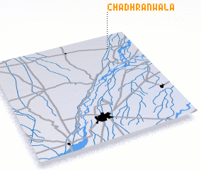 Places with similar names to Chadhranwāla, Pakistan ::
// Chaddhrānwāla (PK)
// Chiddrānwāla (PK)
Disclaimer :: Information on this page comes without warranty of any kind |
||
|
Where is Chadhranwāla? Elevation and coordinates ::
Latitude (lat): 30°52'15"N Longitude (lon): 71°49'15"E
Elevation (approx.): 149m (map arrows pan, magnifying glasses zoom) |
||
|
Visiting Chadhranwāla? Hotel/Accommodation ::
Book a hotel in Chadhranwāla Travel Guide ::
Buy a travel guide for Pakistan rental cars ::
car rental offers GPS waypoint ::
download a GPX waypoint (PoI) of Chadhranwāla for your GPS receiver
|
||