|
search place name
|
||
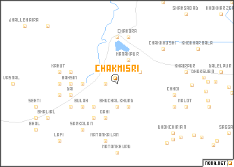
Chak Misri (Punjab, Pakistan)Chak Misri is a town in the Punjab region of Pakistan. An overview map of the region around Chak Misri is displayed below.
regional and 3d topo map of Chak Misri, Pakistan ::
Chak Misri airports ::
The nearest airport is ISB - Islamabad Chaklala, located 106.5 km north of Chak Misri.
Other airports nearby include LYP - Faisalabad Intl (152.4 km south), RAZ - Rawala Kot Rawalakot (162.0 km north east), PEW - Peshawar Intl (179.6 km north west), MFG - Muzaffarabad (195.0 km north), Nearby towns ::
Ransiāl (1.6km west) //
Bhuchāl Khurd (3.7km south) //
Khandoyah (3.6km north east) //
Mānakpur (4.0km north east) //
Sardāhi (4.0km south east) //
Gufānwāla (4.8km south west) //
Miāni (4.7km west) //
Gāhi (5.8km south) //
Makhiāl (6.4km south west) //
Bulah (6.0km south west) //
Kallar Kahār (7.4km north) //
Bahsin (6.2km west) //
Chakora (7.6km north) //
Pahārkhān (6.5km west) //
Dai (6.5km west) //
Bhuchāl Kalān (7.3km south west) //
Sar Kalān (8.8km south west) //
Chak Khushi (8.4km north east) //
[all distances 'as the bird flies' and approximate] 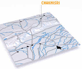 Places with similar names to Chak Misri, Pakistan ::
Disclaimer :: Information on this page comes without warranty of any kind |
||
|
Where is Chak Misri? Elevation and coordinates ::
Latitude (lat): 32°43'0"N Longitude (lon): 72°42'0"E
Elevation (approx.): 790m (map arrows pan, magnifying glasses zoom) |
||
|
Visiting Chak Misri? Hotel/Accommodation ::
Book a hotel in Chak Misri Travel Guide ::
Buy a travel guide for Pakistan rental cars ::
car rental offers GPS waypoint ::
download a GPX waypoint (PoI) of Chak Misri for your GPS receiver
|
||