|
search place name
|
||
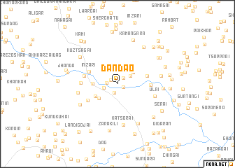
Dandāo (Federally Administered Tribal Areas, Pakistan)Dandāo is a town in the Federally Administered Tribal Areas region of Pakistan. An overview map of the region around Dandāo is displayed below.
regional and 3d topo map of Dandāo, Pakistan ::
Dandāo airports ::
The nearest airport is PEW - Peshawar Intl, located 66.3 km south of Dandāo.
Other airports nearby include JAA - Jalalabad (82.4 km west), SDT - Saidu Sharif (93.8 km east), ISB - Islamabad Chaklala (192.0 km south east), Nearby towns ::
Mangara (0.9km south east) //
Shaikh Ismāīl (1.1km north west) //
Sūr Dāg (1.2km north east) //
Ulas (1.4km south) //
Shātu Khel (1.4km west) //
Shaikh Ismāīl (2.2km north) //
Shagai (1.9km west) //
Zāo (2.2km north east) //
Shigo Garhi (2.8km north east) //
Turu (3.3km south west) //
Khandak (3.3km west) //
Alīsher Shāh (3.5km south west) //
Inzari (4.2km north west) //
Dand Nawar (4.1km east) //
Bara Sarai (4.3km east) //
Khandak (4.5km west) //
Inzar Shāh (4.8km south west) //
Aipi Kor (4.8km west) //
Ūlai (5.4km east) //
Kanra (5.4km west) //
Katsorai (6.6km south) //
Loe Mena (5.9km south west) //
Āgra (5.9km east) //
Kuhai Burhān Khel (6.8km south east) //
Pāmpokha (6.8km north east) //
Kārgha (6.0km east) //
Kūz Tsagai (6.6km north west) //
Kamāngara (7.3km north) //
Zara Kili (7.5km south) //
[all distances 'as the bird flies' and approximate] 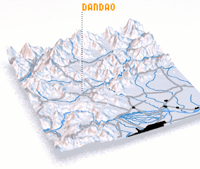 Places with similar names to Dandāo, Pakistan ::
Disclaimer :: Information on this page comes without warranty of any kind |
||
|
Where is Dandāo? Elevation and coordinates ::
Latitude (lat): 34°34'45"N Longitude (lon): 71°22'10"E
Elevation (approx.): 694m (map arrows pan, magnifying glasses zoom) |
||
|
Visiting Dandāo? Hotel/Accommodation ::
Book a hotel in Dandāo Travel Guide ::
Buy a travel guide for Pakistan rental cars ::
car rental offers GPS waypoint ::
download a GPX waypoint (PoI) of Dandāo for your GPS receiver
|
||