|
search place name
|
||
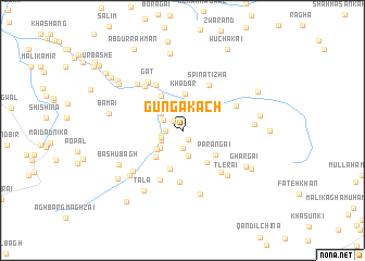
Gunga Kach (Balochistān, Pakistan)Gunga Kach is a town in the Balochistān region of Pakistan. An overview map of the region around Gunga Kach is displayed below.
regional and 3d topo map of Gunga Kach, Pakistan ::
Gunga Kach airports ::
The nearest airport is UET - Quetta, located 91.6 km south of Gunga Kach.
Other airports nearby include KDH - Kandahar (120.4 km north west), Nearby towns ::
Sar Nare (1.1km south east) //
Māndka (1.2km north west) //
Ghondai (1.5km west) //
Khalīl Mill (1.9km south) //
Mehdi Nīka (1.9km west) //
Nasruddīn (2.0km north west) //
Shahāb (2.0km south west) //
Khalīl (2.1km south west) //
Pīra Kach (2.7km south) //
Shairan (2.5km north west) //
Mulla Rasūl (2.7km south west) //
Roshān (3.0km south west) //
Khadar (3.7km north) //
Wurghur (3.7km south west) //
Ziar Kach (3.9km south east) //
Zarai (4.0km north west) //
Sapru Kach (4.2km south) //
Parāngai (3.8km south east) //
Landai Shorai (5.3km south) //
Spīna Tīzha (5.2km north east) //
Artāwi (5.2km north west) //
Dab (5.5km south) //
Jamāt (5.5km south east) //
Hāmida (5.6km north west) //
Qamruddīn Kārez (5.4km north east) //
Gat (5.8km north west) //
Tlerai (6.1km south east) //
Kazha Ghāi (6.0km south west) //
Ali Sher (6.2km north west) //
[all distances 'as the bird flies' and approximate] 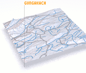 Places with similar names to Gunga Kach, Pakistan ::
// Qingcaoshi (CN)
// Qingkoushi (CN)
Disclaimer :: Information on this page comes without warranty of any kind |
||
|
Where is Gunga Kach? Elevation and coordinates ::
Latitude (lat): 31°4'30"N Longitude (lon): 67°0'30"E
Elevation (approx.): 2154m (map arrows pan, magnifying glasses zoom) |
||
|
Visiting Gunga Kach? Hotel/Accommodation ::
Book a hotel in Gunga Kach Travel Guide ::
Buy a travel guide for Pakistan rental cars ::
car rental offers GPS waypoint ::
download a GPX waypoint (PoI) of Gunga Kach for your GPS receiver
|
||