|
search place name
|
||
Hamzāzai (Balochistān, Pakistan)Hamzāzai is a town in the Balochistān region of Pakistan. An overview map of the region around Hamzāzai is displayed below.
regional and 3d topo map of Hamzāzai, Pakistan ::

Hamzāzai airports ::
The nearest airport is PZH - Zhob, located 114.8 km north of Hamzāzai.
Other airports nearby include SUL - Sui (187.9 km south), RYK - Rahim Yar Khan Sheikh Zayed (238.4 km south east), Nearby towns ::
Hubzai (0.4km north west) //
Dādmīr (0.8km north west) //
Bohargul Khān (0.9km west) //
Khashe (1.2km north west) //
Saddāzai (1.2km south east) //
Batezai (1.6km south) //
Tiga (1.7km south west) //
Fateh (1.6km west) //
Karam Khān (1.8km north west) //
Ādamzai (2.2km south) //
Mir Hasan (2.0km west) //
Saiyidāl (2.1km south east) //
Makhu (2.2km north west) //
Zikria (2.2km west) //
Shekhān (2.4km south east) //
Saiyidān (2.6km south) //
Khudar (2.6km west) //
Mulagai (2.9km south west) //
Shodiāni (2.8km south east) //
Sundai (3.0km west) //
Dunia Khān (3.2km west) //
Shabe (3.8km south west) //
Sharbat (4.2km south west) //
Dargai (6.7km north) //
Nawāb Khān (8.2km south west) //
Dadai Shaikh (8.1km south west) //
Bilanda Tobāi (8.8km south east) //
Bilanda (9.7km south east) //
[all distances 'as the bird flies' and approximate] 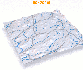 Places with similar names to Hamzāzai, Pakistan ::
Disclaimer :: Information on this page comes without warranty of any kind |
||
|
Where is Hamzāzai? Elevation and coordinates ::
Latitude (lat): 30°20'20"N Longitude (lon): 69°15'20"E
Elevation (approx.): 1167m (map arrows pan, magnifying glasses zoom) |
||
|
Visiting Hamzāzai? Hotel/Accommodation ::
Book a hotel in Hamzāzai Travel Guide ::
Buy a travel guide for Pakistan rental cars ::
car rental offers GPS waypoint ::
download a GPX waypoint (PoI) of Hamzāzai for your GPS receiver
|
||