|
search place name
|
||
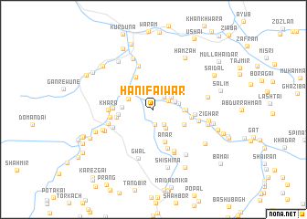
Hanīfai War (Balochistān, Pakistan)Hanīfai War is a town in the Balochistān region of Pakistan. An overview map of the region around Hanīfai War is displayed below.
regional and 3d topo map of Hanīfai War, Pakistan ::
Hanīfai War airports ::
The nearest airport is UET - Quetta, located 99.9 km south of Hanīfai War.
Other airports nearby include KDH - Kandahar (104.7 km west), Nearby towns ::
Jāni War (1.9km south) //
Amīr (1.9km north east) //
Kazha (1.9km north east) //
Malik Amīr (2.1km south east) //
Khashang (2.4km north east) //
Hasan (2.7km south east) //
Piālkha (2.4km east) //
Girdai (2.8km east) //
Barai (2.9km north west) //
Kuchnai Dobandi (3.3km north west) //
Khawāra (3.2km east) //
Narmu Sūkai (3.3km west) //
Sra Khwa (3.4km east) //
Abdul Khāliq (3.7km south east) //
Anar (4.2km south) //
Serlana (3.8km west) //
Kurdūna (4.4km north west) //
Dandai (3.9km west) //
Umar (4.1km east) //
Hardozo Zrandah (4.2km west) //
Girdai (5.0km south) //
Tāmul (4.4km east) //
Bāranzo Zrandah (4.6km west) //
Sewrai (4.8km south west) //
Khara (4.8km west) //
Hazrai (5.5km north) //
Narai (5.5km south east) //
Nal (5.0km east) //
Hissār (5.7km south) //
[all distances 'as the bird flies' and approximate] 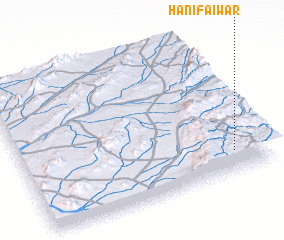 Places with similar names to Hanīfai War, Pakistan :: Disclaimer :: Information on this page comes without warranty of any kind |
||
|
Where is Hanīfai War? Elevation and coordinates ::
Latitude (lat): 31°9'0"N Longitude (lon): 66°52'0"E
Elevation (approx.): 1868m (map arrows pan, magnifying glasses zoom) |
||
|
Visiting Hanīfai War? Hotel/Accommodation ::
Book a hotel in Hanīfai War Travel Guide ::
Buy a travel guide for Pakistan rental cars ::
car rental offers GPS waypoint ::
download a GPX waypoint (PoI) of Hanīfai War for your GPS receiver
|
||