|
search place name
|
||
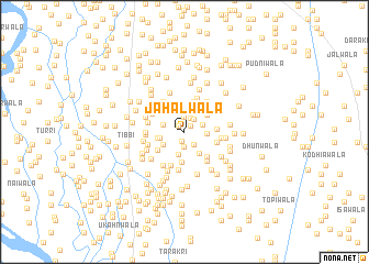
Jāhalwāla (Punjab, Pakistan)Jāhalwāla is a town in the Punjab region of Pakistan. An overview map of the region around Jāhalwāla is displayed below.
regional and 3d topo map of Jāhalwāla, Pakistan ::
Jāhalwāla airports ::
The nearest airport is MUX - Multan Intl, located 72.6 km south east of Jāhalwāla.
Other airports nearby include PZH - Zhob (160.5 km north west), Nearby towns ::
Sepāhīwāla (0.8km north west) //
Daphrewāla (0.8km north east) //
Bhattīwāla (1.0km north) //
Haliwāla (1.0km south) //
Ghāzīwāla (1.5km north) //
Nūrīwāla (1.5km south) //
Dīwānwāla (1.5km north) //
Dīwānwāla (1.5km north east) //
Lūmarwāla (1.5km south east) //
Samadwāla (1.8km north east) //
Chhīnewāla (2.0km north west) //
Arewāla (2.0km east) //
Wattewāla (2.4km south) //
Saldewāla (2.2km south west) //
Yūsufwāla (2.2km west) //
Borewāla (2.5km south east) //
Mānjhewāla (2.7km north west) //
Jogewāla (2.8km north) //
Dittūwāla (2.8km north) //
Ladhīwāla (2.5km west) //
Umrnwāla (2.6km north east) //
Dallūwāla (3.0km north) //
Māchhīwāla (3.1km south) //
Khirāniwāla (3.1km north east) //
Saiyidwāla (3.2km north) //
Pittanwāla (2.8km east) //
Karārewāla (3.0km south west) //
Jhakkarwāla (3.2km south east) //
Ahmadwāla (3.0km east) //
[all distances 'as the bird flies' and approximate] 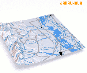 Places with similar names to Jāhalwāla, Pakistan ::
// Jāhilwāla (PK)
Disclaimer :: Information on this page comes without warranty of any kind |
||
|
Where is Jāhalwāla? Elevation and coordinates ::
Latitude (lat): 30°44'20"N Longitude (lon): 70°59'0"E
Elevation (approx.): 140m (map arrows pan, magnifying glasses zoom) |
||
|
Visiting Jāhalwāla? Hotel/Accommodation ::
Book a hotel in Jāhalwāla Travel Guide ::
Buy a travel guide for Pakistan rental cars ::
car rental offers GPS waypoint ::
download a GPX waypoint (PoI) of Jāhalwāla for your GPS receiver
|
||