|
search place name
|
||
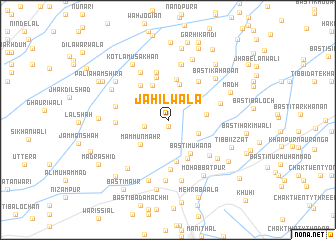
Jāhilwāla (Punjab, Pakistan)Jāhilwāla is a town in the Punjab region of Pakistan. An overview map of the region around Jāhilwāla is displayed below.
regional and 3d topo map of Jāhilwāla, Pakistan ::
Jāhilwāla airports ::
The nearest airport is MUX - Multan Intl, located 111.1 km north of Jāhilwāla.
Other airports nearby include RYK - Rahim Yar Khan Sheikh Zayed (132.0 km south west), Nearby towns ::
Dāimwāla (0.8km south) //
Tibbi Arbiān (2.4km west) //
Basti Tarkhānān (3.3km south east) //
Mammūn Māhr (3.9km south west) //
Basti Siāl (4.2km north) //
Wahi Bhinda (4.1km north) //
Wazīrwāla (3.8km east) //
Basti Muhāna (4.3km south east) //
Khārakwāli (4.6km north) //
Basti Bnattiān (4.7km south) //
Basti Khokhar (4.7km south east) //
Ghauspur (4.7km north west) //
Basti Malkāni (4.9km north) //
Makhdūmwāla (5.4km north) //
Ali Khārak (5.2km north east) //
Islāmābād (5.6km south) //
Bāqir Shāh (5.1km west) //
Basti Pāuttān (5.3km west) //
Pathānwāla (5.9km north west) //
Basti Jahrān (5.7km south east) //
Pīrwāh (5.4km east) //
Balochwāli (6.3km north) //
Sangarwāhān (6.3km north) //
Dera Nawāb Sāhib (6.8km south) //
Ahmadpur East (6.9km south) //
Basti Kahārān (6.5km north east) //
Jamāl Ghūyān (6.7km south west) //
Talbāni (6.5km south east) //
Mūsa Khokhar (7.1km south) //
[all distances 'as the bird flies' and approximate]  Places with similar names to Jāhilwāla, Pakistan ::
// Jāhalwāla (PK)
Disclaimer :: Information on this page comes without warranty of any kind |
||
|
Where is Jāhilwāla? Elevation and coordinates ::
Latitude (lat): 29°12'40"N Longitude (lon): 71°15'10"E
Elevation (approx.): 103m (map arrows pan, magnifying glasses zoom) |
||
|
Visiting Jāhilwāla? Hotel/Accommodation ::
Book a hotel in Jāhilwāla Travel Guide ::
Buy a travel guide for Pakistan rental cars ::
car rental offers GPS waypoint ::
download a GPX waypoint (PoI) of Jāhilwāla for your GPS receiver
|
||