|
search place name
|
||
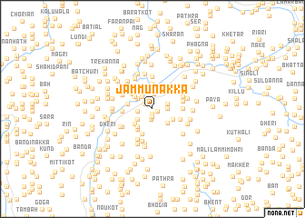
Jammu Nakka (North-West Frontier, Pakistan)Jammu Nakka is a town in the North-West Frontier region of Pakistan. An overview map of the region around Jammu Nakka is displayed below.
regional and 3d topo map of Jammu Nakka, Pakistan ::
Jammu Nakka airports ::
The nearest airport is MFG - Muzaffarabad, located 31.9 km south of Jammu Nakka.
Other airports nearby include RAZ - Rawala Kot Rawalakot (92.1 km south), SDT - Saidu Sharif (99.9 km west), ISB - Islamabad Chaklala (114.7 km south), SXR - Srinagar (143.2 km south east), Nearby towns ::
Dher (0.6km south) //
Sāngra (0.6km south east) //
Khuri (0.9km south) //
Guddi (1.0km north west) //
Balda Nakka (1.2km south) //
Thānwan (1.5km east) //
Paro (1.9km north) //
Akhora (1.6km west) //
Dum Nārian (1.6km east) //
Patha (1.8km north west) //
Jabbi (2.2km north) //
Tangar (2.0km north west) //
Chhammar (2.0km south west) //
Bhatiān (2.3km south east) //
Masach (2.4km north west) //
Thirn (2.4km south east) //
Chhammar (2.6km north west) //
Khanori (2.6km south west) //
Kopra (2.6km south west) //
Guldar (2.8km north west) //
Leda (3.1km north) //
Kasi (2.8km north west) //
Khole (2.9km south west) //
Alia (2.6km west) //
Shinkiāri (3.3km south) //
Biāri (3.2km north west) //
Buldhar Una (3.3km north west) //
Bharti Nakka (3.1km south east) //
Ghanūl (3.1km east) //
[all distances 'as the bird flies' and approximate] 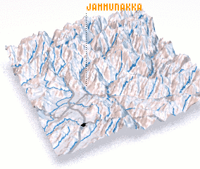 Places with similar names to Jammu Nakka, Pakistan ::
Disclaimer :: Information on this page comes without warranty of any kind |
||
|
Where is Jammu Nakka? Elevation and coordinates ::
Latitude (lat): 34°37'0"N Longitude (lon): 73°25'0"E
Elevation (approx.): 1511m (map arrows pan, magnifying glasses zoom) |
||
|
Visiting Jammu Nakka? Hotel/Accommodation ::
Book a hotel in Jammu Nakka Travel Guide ::
Buy a travel guide for Pakistan rental cars ::
car rental offers GPS waypoint ::
download a GPX waypoint (PoI) of Jammu Nakka for your GPS receiver
|
||