|
search place name
|
||
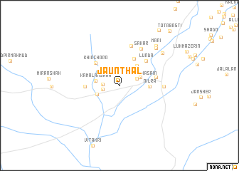
Jaunthal (Balochistān, Pakistan)Jaunthal is a town in the Balochistān region of Pakistan. An overview map of the region around Jaunthal is displayed below.
regional and 3d topo map of Jaunthal, Pakistan ::
Jaunthal airports ::
The nearest airport is SUL - Sui, located 126.4 km south of Jaunthal.
Other airports nearby include RYK - Rahim Yar Khan Sheikh Zayed (175.5 km south east), PZH - Zhob (176.4 km north), Nearby towns ::
Koro Shāh (2.3km west) //
Bhangi Shāh (2.4km west) //
Ziārat Lākha Sāin (2.6km north east) //
Laghāri Kot (3.1km north east) //
Kamālān Shāh (3.3km west) //
Rahmān Shāh (3.4km south west) //
Tal Khān (3.9km north east) //
Khwāju (4.6km north east) //
Nīlra (4.2km east) //
Khīr Chara (4.8km north west) //
Shāhi Luk (4.7km west) //
Lunda (5.3km north east) //
Jhali (5.1km east) //
Pātra (6.4km north) //
Sākār (6.4km north east) //
Nāhar Kot (6.0km east) //
Nīla (7.7km north east) //
Mari (7.9km north east) //
Zendo (7.8km north east) //
Thogri (10.2km north east) //
Tota Basti (10.9km north east) //
[all distances 'as the bird flies' and approximate] 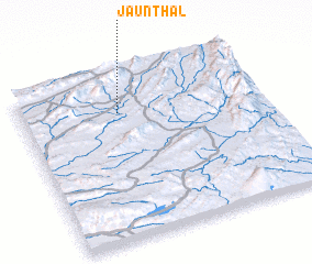
Disclaimer :: Information on this page comes without warranty of any kind |
||
|
Where is Jaunthal? Elevation and coordinates ::
Latitude (lat): 29°46'5"N Longitude (lon): 69°24'15"E
Elevation (approx.): 986m (map arrows pan, magnifying glasses zoom) |
||
|
Visiting Jaunthal? Hotel/Accommodation ::
Book a hotel in Jaunthal Travel Guide ::
Buy a travel guide for Pakistan rental cars ::
car rental offers GPS waypoint ::
download a GPX waypoint (PoI) of Jaunthal for your GPS receiver
|
||